
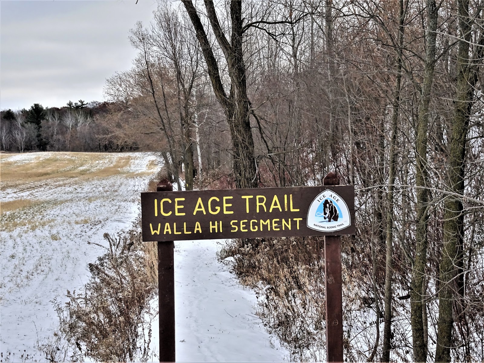
On the other side of the covered bridge, the trail became hillier. Ridges and small kames offered views of the surrounding glacial terrain. The trails through the Wall Hi County Park are well-signed and easy to follow. En route, detailed signs provide precise "you are here" location. After about a mile and a half, the trail heads down and out of the trees and then up a rock staircase onto a narrow easement between privately held lands. Take care navigating the rock stairs as they are slippery with snow and ice. I use microspikes and trekking poles or avoid icy rock inclines under these conditions.
 |
| The Eastern Terminus of the Walla Hi Segment of the IAT begins behind this sign |
 |
| The covered bridge |
 |
| You are "here"! |
 |
| The rock staircase to the narrow easement |
Once on the narrow easement, signs request hikers to please stay on trail. Hiker access to these easements is easily lost when hikers do not respect the rights of private landowners. The narrow easement on the Walla Hi Segment is lined by farmland to the north, and what looks to be a small scale mining operation owned by Badgerland Aggregates behind a thin line of brush and a few trees to the south. After an approximately one third mile walk on this narrow footpath, the hiker reaches the western terminus of the Walla Hi Segment of the IAT. This is where the road-walk on the connecting route between the Walla Hi and LaBudde Creek Segments of the IAT begins.
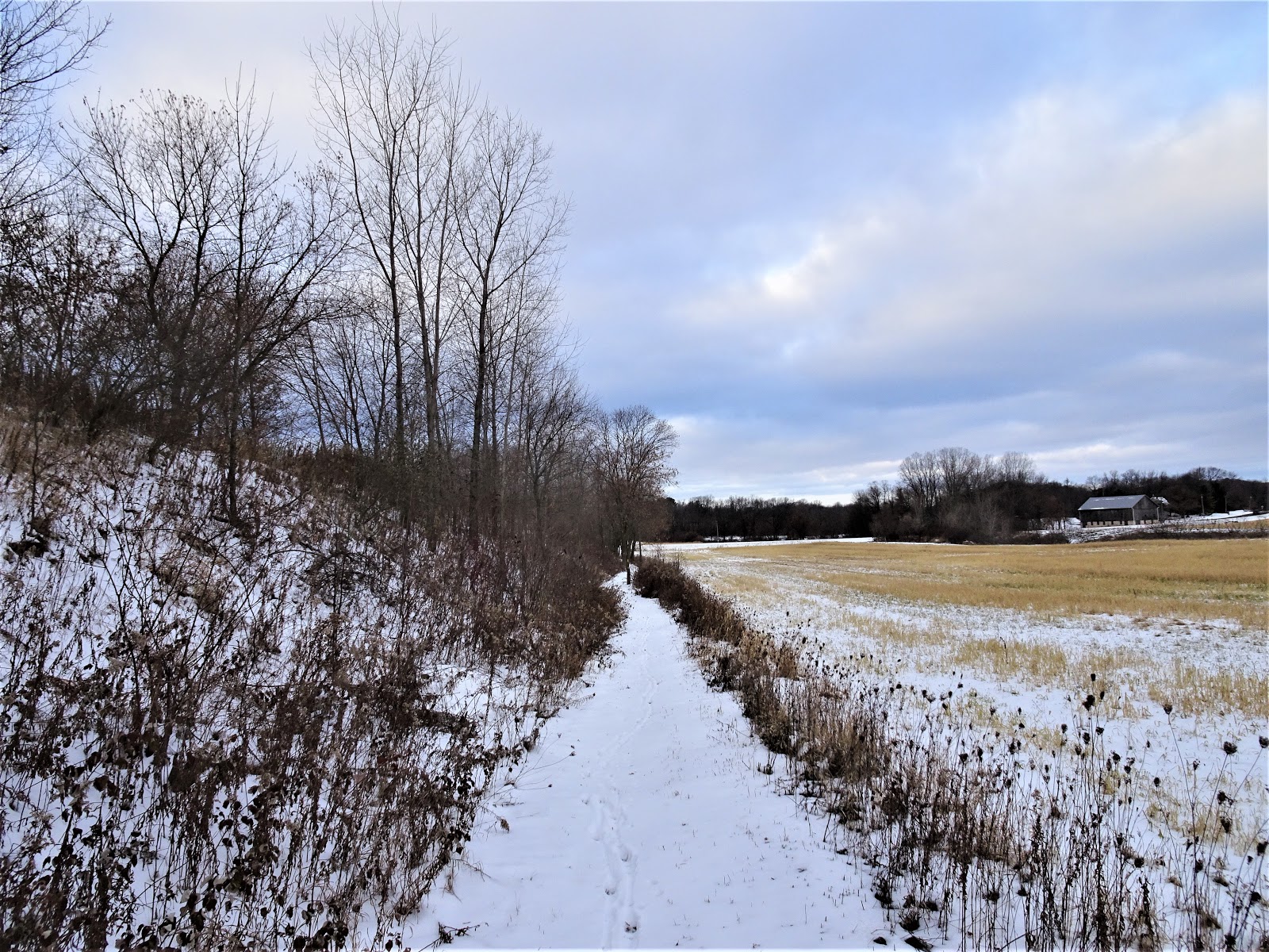 |
| Along the easement heading towards Lax Chapel Road |
 |
| The Western Terminus of the Walla Hi Segment of the IAT |
Overall this segment provides a pleasant walk in the park. With the charm of the covered bridge, and the beauty of glacial terrain packed in such a small package that anyone that can walk up a hill can enjoy it. This segment would be especially good for kids as it is short. There are enough small trails in the park to make a custom length loop of not too much distance.
 |
| Map of the Walla Hi Segment of the IAT
© OpenStreetMap contributors
https://www.openstreetmap.org/copyright
|
That's all for now, let's get out doors and keep our wild places wild.
Total Distance Covered - 1.9 miles (3.0 km) one way.
Difficulty - Moderate, with some hilly spots, but a short distance.
Difficulty - Moderate, with some hilly spots, but a short distance.
Trail Conditions - Steep and slippery with hard packed ice and snow in some areas, 32°F (0°C).
Highlights - Views of the glacial terrain on the ridges and kames, the covered bridge.
Total Ice Age Trail Miles to Date - Total official IAT trail distance completed to date - 435 miles (696 km).
Amenities - There is parking for the IAT at the eastern terminus of the Walla Hi Segment. The small city of Kiel is about 4 miles from the trailhead.
Location - Parked in the trail head parking on Mueller Road.
No comments:
Post a Comment