
I started my hike at the Keystone Road trail head parking area, with plans to hike south quickly, knock out the road walk down to the Greenbush Segment, then head back to Keystone Road parking area and do a short hike north to finish the segment. My day did not go as planned.
 |
| LaBudde Cfreek Segment of the IAT |
I started out by heading south down a pleasantly hilly section of trail dotted with melting ice and snow. In spots the trail dipped low and my feet squished in the partly frozen wet mud. I saw many birds, and on this gray day the red of the wild sumac was as beautiful as any rose.
 |
| Near the Keystone Road Trail Head |
 |
| Along the LaBudde Creek Segment of the IAT |
 |
| The LaBudde Creek Segment of the IAT |
 |
| More along the trail |
Before long the trail arrived at County Highway A. Overconfident and relying on memory rather than map, I thought I was on Little Elkahart Lake Road needing to head south. The sun in the sky gave no clue I was headed in the wrong direction, as the sky was very dark with snow clouds. Lost in my thoughts and the views of farmsteads and old barns, it was only after I walked a good bit in the wrong direction that I realized I had headed the wrong way. Overconfidence at its finest. I turned around and backtracked. Suddenly the map had all of my attention.
 |
| A wrong turn on Highway A |
 |
| Sights walking the wrong way on Highway A |
Once back on track, I headed south on Little Elkhart Lake Road for about a half mile, and then west on Badger Road for about a quarter mile, maybe a little more, before heading back into the trees. Unlike other road-walks, once I got onto Little Elkhart Lake Road I did not encounter traffic in the area, and found the road walk pleasant aside from continual nagging urges to check and recheck the map which had early seemed so unnecessary.
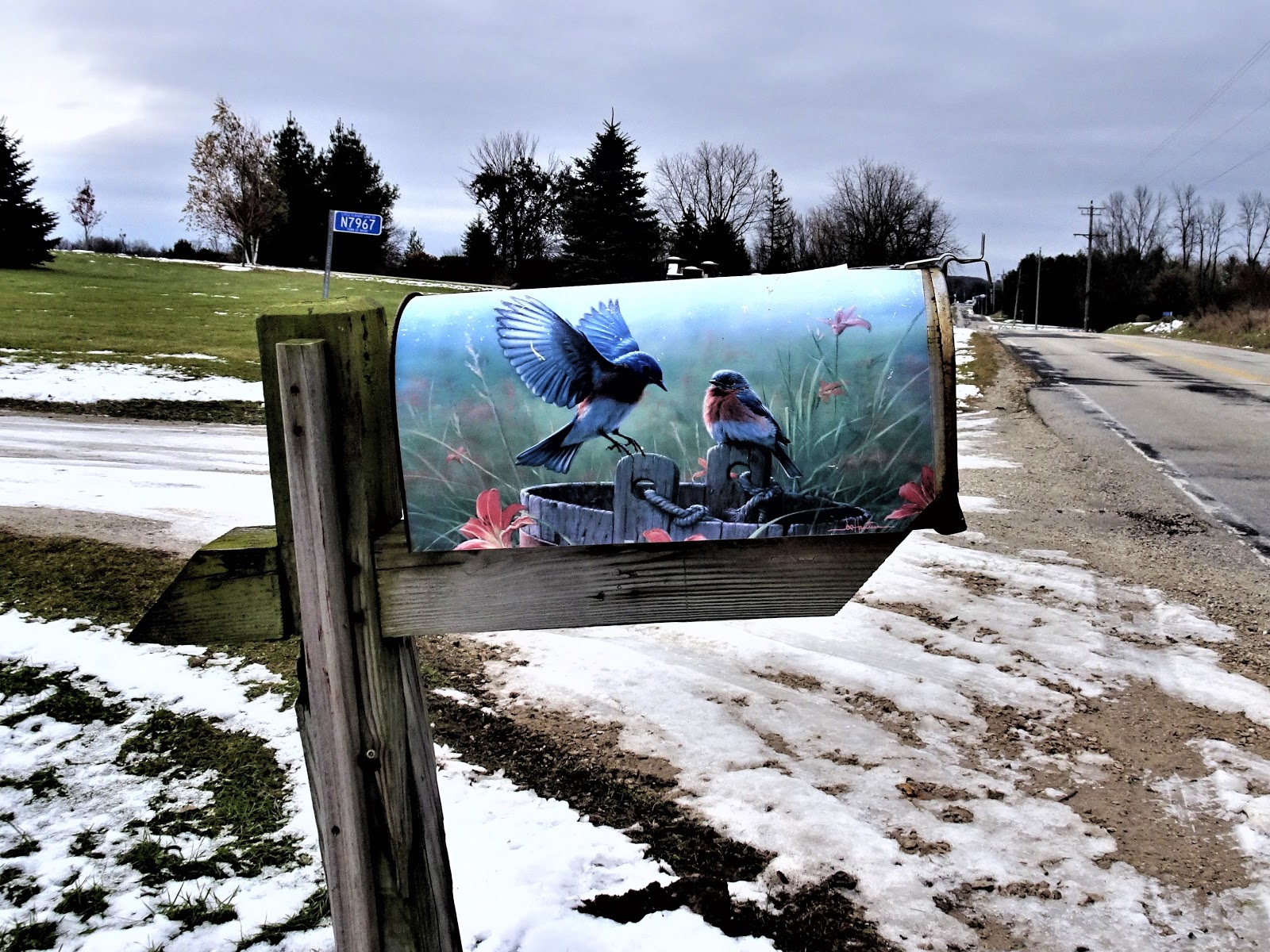 |
| Gorgeous mailbox on Little Elkhart Lake Road |
Eventually I came to a picturesque but icy board walk meant to keep the hikers feet dry in a low grassy area. I continued on until I reached Garten Road, then headed west for under a quarter mile. Here began the road-walk from the LaBudde Creek Segment to the Greenbush Segment of the IAT.
 |
| Wild sumac on the LaBudde Creek Segment of the IAT |
Due to the lost time on County Highway A, I returned another day much like the first gray near freezing day to finish the LaBudde Creek Segment. That day I hiked the connecting route to the Walla Hi Segment as well as the Walla Hi Segment itself.
From Keystone Road, the LaBudde Creek Segment of the IAT heads west, then north through a brushy area. In short order, views of the LaBudde Creek can be seen to the east of the trail and a stand of tall pines to the west. This last bit of the segment was less than a mile long, and soon I moved away from LaBudde Creek and emerged onto County Road FF to begin the road-walk to the Walla Hi Segment of the IAT.
 |
| The LaBudde Creek Segment along Keystone Road |
 |
| The brushy area near the LaBudde Creek with tall pines alongside |
That's all for now, let's get outdoors and keep our wild places wild!
 |
| Map of the LaBudde Creek Segment, complete with wrong turn on County Highway A |
Total Distance Covered - 3.5 miles (5.6 km) one way.
Difficulty - Moderate, the 2.7 miles of trail have some easy hills on trail, and the 0.8 miles of road walking have a short but steep hill on Little Elkhart Lake Road.
Difficulty - Moderate, the 2.7 miles of trail have some easy hills on trail, and the 0.8 miles of road walking have a short but steep hill on Little Elkhart Lake Road.
Trail Conditions - The trail had slippery ice in a couple of spots, but the majority was easy to walk, warmed up to 36°F (2.2°C).
Highlights - The pretty mailbox with the blue birds.
Total Ice Age Trail Miles to Date - Total official IAT trail distance completed to date - 427.7 miles (684 km).
Amenities - There is trail head parking for the IAT on on Garton Road and on Keystone Road. The segment is about 1.6 miles (2.6 km) from the center of the village of Elkhart Lake which offers small town amenities such as a post office, dining, and lodging.
Location - Parked in the IAT trail head parking on Keystone Road.
Location - Parked in the IAT trail head parking on Keystone Road.
No comments:
Post a Comment