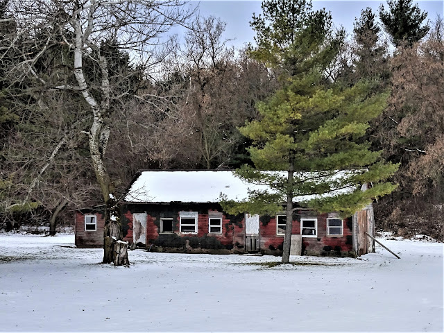
Despite the cold, the walk along the this connecting route felt pleasant with minimal traffic and plentiful doses of country charm. From the western terminus of the Walla Hi Segment of the IAT, I headed southwest on Lax Chapel Road towards Wisconsin Highway 32 / 57. Where the Sheboygan River flows under Highway 32 / 57, I crossed and followed the highway briefly west. Once across the river, I headed southeast following the curves of Lax Chapel Road along the Sheboygan River, taking in serene views of the Sheboygan river to my left and the small homes overlooking the river to my right.
 |
| Sheboygan River |
As I crossed the Manitowoc county line back into Sheboygan County, the trees became fewer and further between. I shivered, bitten by wind that rustled a stand of unharvested corn. The road here straightened heading south, the name of the road now having changed to Rhine Road. I passed the picturesque Millhome Nursery and Greenhouse, and continued walking south through Wisconsin farm country.
 |
| Along Lax Chapel Road |
 |
| Along Rhine Road |
 |
| Millhome Nursery and Greenhouse |
Soon I walked into Rhine Center, which is basically a 4-way stop with buildings at its corners surrounded by Wisconsin farm country. I found the old structures of Rhine Center architecturally fascinating. One such structure, the Black Dog Bistro, is like many such establishments in small town Wisconsin (unfortunately), closed for business.
 |
| Someone's backyard in Rhine Center |
If you look very carefully at the Black Dog Bistro, you'll see that there is still a roadside hitching post leftover from days gone by. You can spot it if you look at the below photograph near the bottom of the telephone pole. The Black Dog Bistro and a few other old buildings make up Rhine Center at the crossing of Rhine Road and County Road MM. Another fascinating structure was an old multi-colored stone building with a green door just south of the Black Dog Bistro. Due to the low light, the photograph does not show the true color of the stonework.
 |
| The Black Dog Bistro in Rhine Center |
 |
| Stone building in Rhine Center |
I continued heading south on Rhine Road. After crossing County Road EH and heading further south, I reached County Road FF. I followed County Road FF southwest past St. Peter Evangelical Church, and then west. Just before the intersection of County Road FF with Little Elkhart Lake Road, I reached the northern terminus of the LaBudde Creek Segment of the IAT ending the day's road walk.
 |
| Along Rhine Road in Sheboygan County |
 |
| St. Peter Evangelical Church on County Road FF |
 |
| Weathered yellow barn on County Road FF |
 |
| Northern terminus of the LaBudde Creek Segment |
That's all for now, let's get outdoors and keep our wild places wild.
 |
| The connecting route from the Walla Hi Segment to the LaBudde Segment of the IAT
© OpenStreetMap contributors
https://www.openstreetmap.org/copyright
|
Total Distance Covered - 5.3 miles (8.5 km) one way.
Difficulty - Easy, with some light hilly spots.
Difficulty - Easy, with some light hilly spots.
Trail Conditions - The road was easy to walk with minimal traffic, warmed up to 36°F (2.2°C).
Highlights - Views of the Sheybogan River, old barns, and the architecture at the Rhine Center crossroads.
Total Ice Age Trail Miles to Date - Total official IAT trail distance completed to date - 433 miles (693 km).
Amenities - There is trail head parking for the IAT on Keystone Road and at the eastern terminus of the Walla Hi Segment. The Millhome Supper Club is on the route. The Black Dog Bistro along the route in Rhine Center has been closed.
Location - Parked in the IAT trail head parking on Keystone Road along the LaBudde Segment.
Location - Parked in the IAT trail head parking on Keystone Road along the LaBudde Segment.


No comments:
Post a Comment