On a rainy October morning my husband and I hiked the Forestville Segment of the Ice Age National Scenic Trail (IAT). The Forestville Segment follows the Ahnapee River along the multiuse Ahnapee State trail from the corner of State Highway 42 and County Highway H in Maplewood to Birch Road (County Highway S) in Algoma. This crushed limestone trail runs through Kewaunnee and Door Counties. Built on a transformed rails to trails railroad track bed, the segment is named for the Village of Forestville, with the Forestvivlle Dam County Park near its halfway point.
Rain fell as my husband and I dropped our bikes off at the County Highway M trail head in Algoma. We headed north and parked the car at the Maplewood trail head parking. We put on our rainsuits and started heading south. Fall colors popped in the gray light, and we spotted several deer within the first two miles of the segment. The trail had an flat grade with a crushed limestone surface which made the walking easy. Given the cold rain, it felt like to a treat to avoid walking through wet grass.
Maplewood in the rain
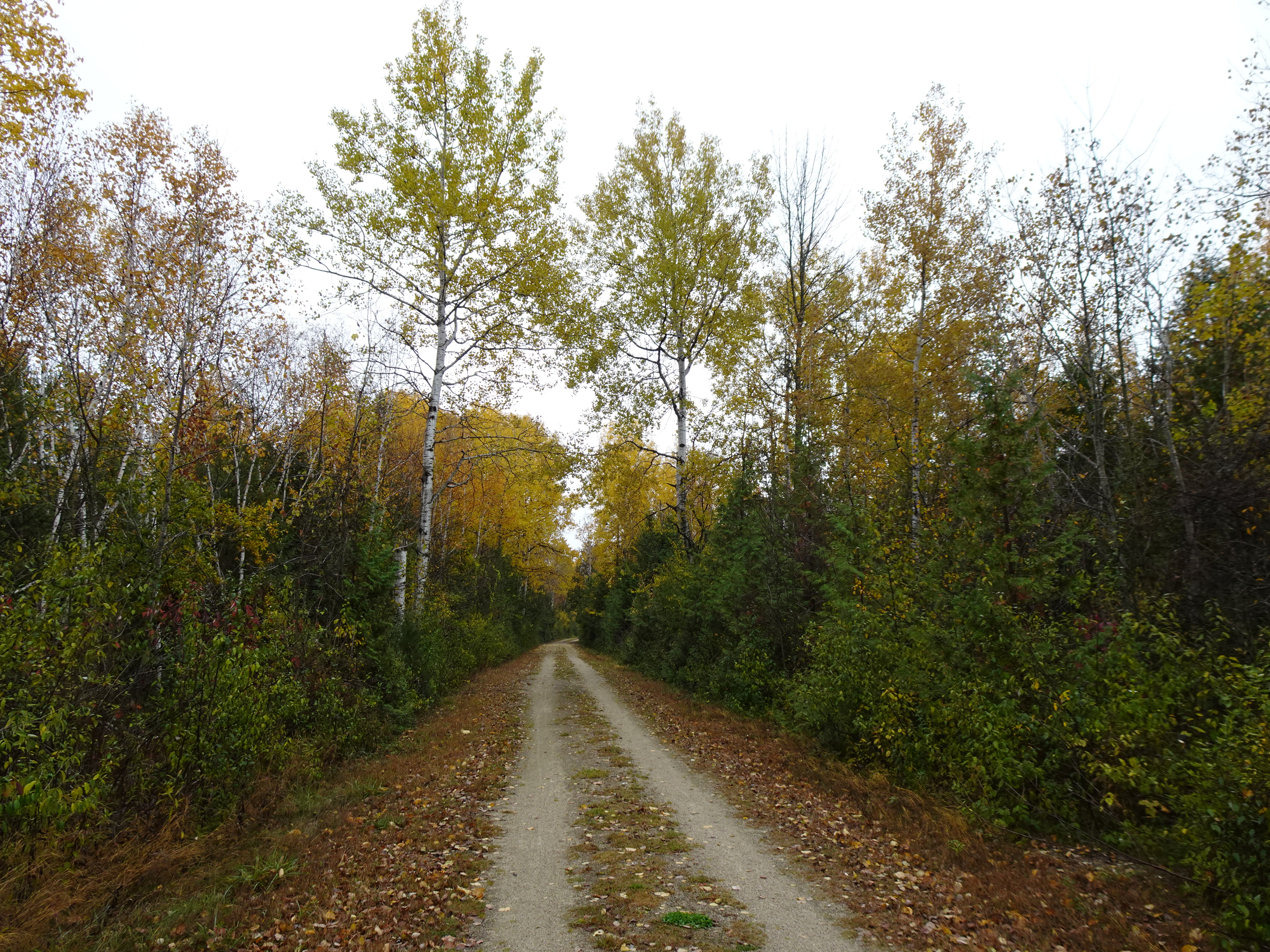
The trail between Maplewood and Forestville
The Forestville Dam County Park
The Ahnapee River
The rain slowed down when we reached the Forestville Dam County Park where I stopped to use the restroom and spend a minute watching people fish near the dam. We continued south and before long we crossed the bridge over the Ahnapee River and then passed by Blahnik Park. We continued south to the County Highway M parking area and retrieved our bikes.
The bridge over the Ahnapee River
It continued to rain as we draw closer to the bicycles in the County Highway M parking area
Trailhead signage
We made it!
I had previously hiked the remaining fraction of a mile south of the County Highway M Parking area when I did the connecting route from the Kewaunee Segement to the Forestville Segment, so from there we rode our bicycles back north to the car.
That's all for now. Let's get outdoors and keep our wild places wild.
Map of the Forestville Segment
Total Distance Covered - 9.8 miles (15.8 km) one way.
Difficulty - Easy.
Trail Conditions - A beatiful rainy fall day that started out cool at 41°F (5°C).
Highlights - Peak leaf color, many apple trees along the trail, Forestville Dam County Park, spotted several deer.
Total Ice Age Trail Miles to Date - Total official IAT trail distance completed to date - 586 miles (938 km).
Amenities - Trail head parking in many places including, but not limited to State Highway 42 in Maplewood, County Road M in Algoma, and the Forestville Dam County Park. Algoma, and Forestville offer small town amenities including dining and filling stations. Maplewood also has a bar that serves food. The "trailside" restrooms an be found at or newar all trailhead parking areas.


No comments:
Post a Comment