I set out on a crisp fall morning to walk the the connecting route between the Deerfield and Emmons Creek Segments of the Ice Age National Scenic Trail (IAT). With October colors popping and geese calling overhead, I left my bike at the terminus of the Deerfield Segment of the Ice Age Trail on County Road O and parked at Roberts Park in the Village of Wild Rose. Cold wind rustled the leaves as I began walking through Wild Rose. I enjoyed an outpouring of Halloween decorations and seeing wildroses still in bloom.
If you are following the guide books put out by the Ice Age Trail Association, you will see the recommended roadwalk runs elsewhere. I did not follow the route recommended in the guidebook as I did not see a good halfway place to park along the route. Due to the cold and limits on my time, I prefered to break the connecting route into two walks.
Because Wild Rose has Roberts Park at the Wild Rose Millpond with a public restroom and good parking, I decided to use it as at a mid point between the Deerfield Segment and the Emmons Creek Segment of the IAT. From Roberts Park, I made my way south on Wisconsin State Highway 22 and west on County Road O. When I finished, I rode my bike back to Roberts Park along a longer but less busy route.
Wildroses blooming in October in the Village of Wild Rose
Trick or Treat!
Sunrise near Wild Rose
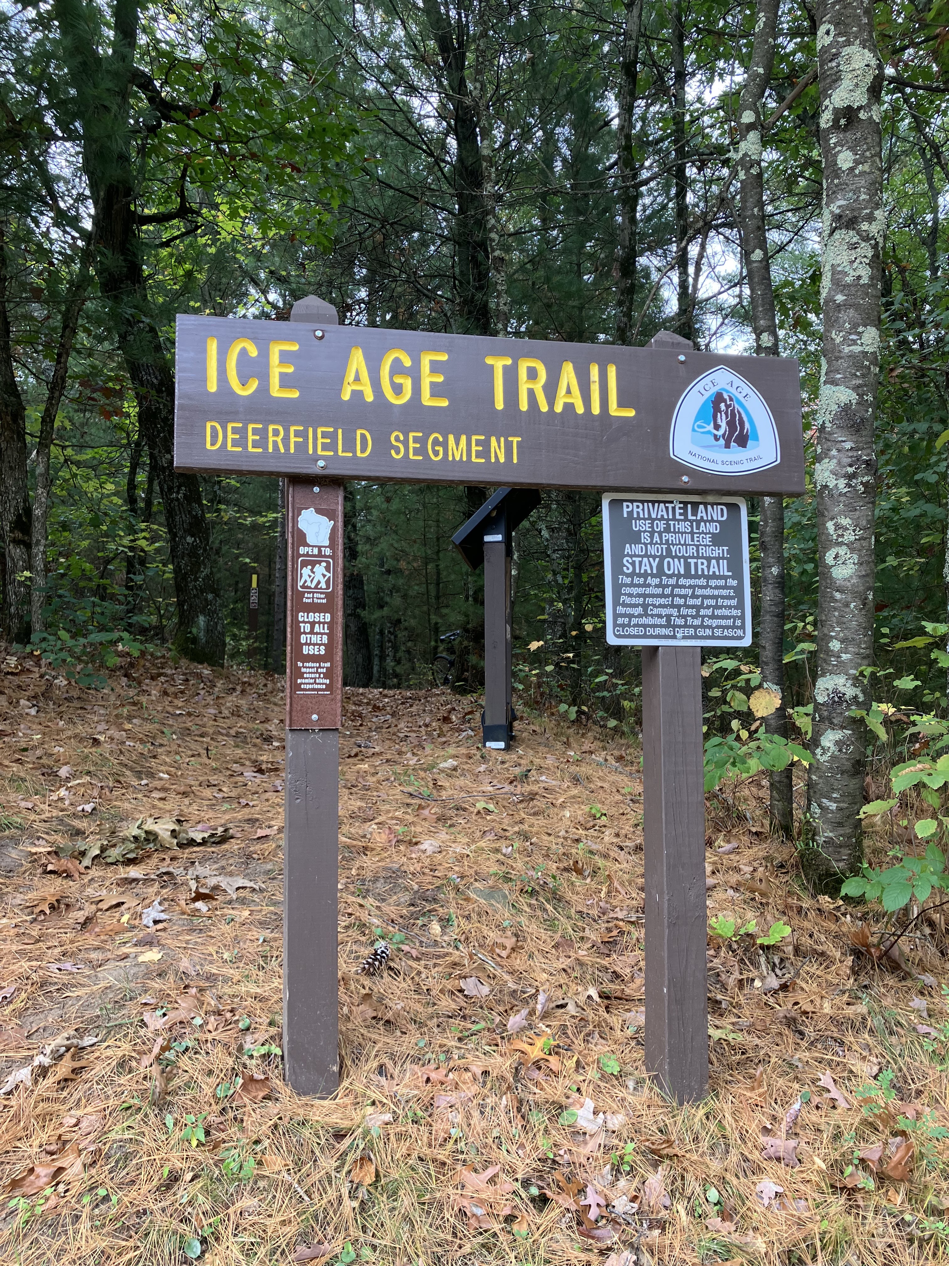
Deerfield Segment Trailhead on Highway O
South on State Hwy 22 headed to County Hwy O
Apples!
Saw deer running back and forth across County Hwy O at Lake Wautoma
A gorgeous fall day, Lake Wautoma
When I returned to Roberts Park to finish the connecting route, I walked north for about 6 miles on State Highway 22. I enjoyed seeing the Wild Rose Millpond at the site of the Historic Wild Rose Mill, and walking by the Wild Rose State Fish Hatchery. Further north, I saw plenty of deer dashing across State Highway 22 as cars whizzed by. I passed the Northeast Asphalt quarry, an then passed from Waushara County into Portage County.
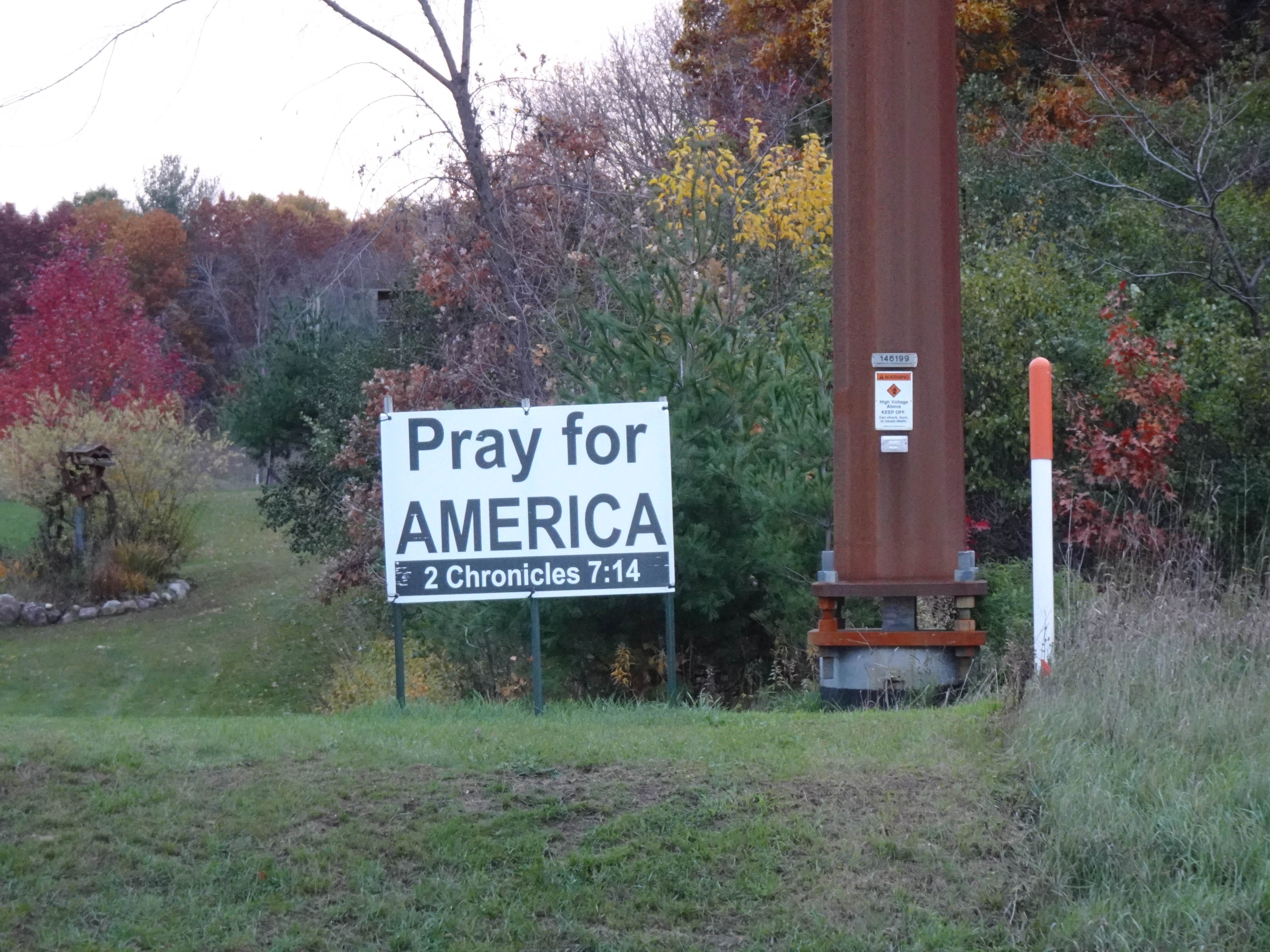
Praying people in Portage County
Quarry at the Northeast Asphalt Springwater Site
The corner of Akron Drive and Highway 22
Leaving Waushara County
Dopp Cemetary
Dopp Memorial Center
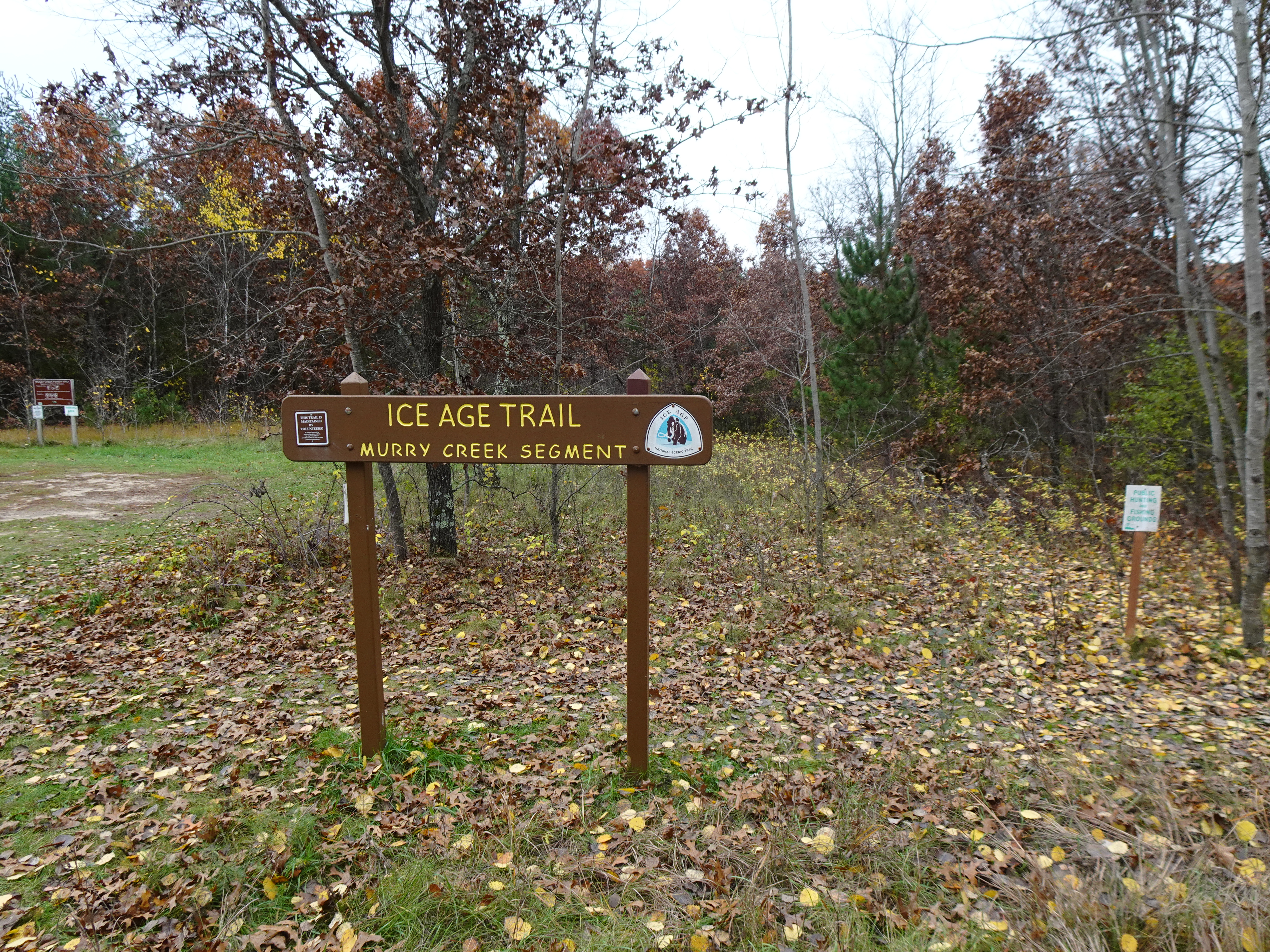
When I finally turned left onto Hudziak Road, I felt relieved to end my time walking along the busy State Highway 22. The gorgous country views continued. Soon I turned West on 1st Avenue enjoying the fall reds and golds along the narrow scenic road. After about two miles, I headed north on 16th Road, and east on 2nd Avenue. I fnished my walk at the Murry Creek IAT Trailhead across 2nd Avenue from the trailhead for the Emmons Creek Segment of the IAT.
Oaks along 1st Avenue
More gorgeous oak leaves along 1st Avenue
A quiet, narrow 1st Avenue
Gorgeous views of the countryside
Getting closer to the end of today's walk
Seeing many hunters in blaze orange along 2nd Avenue
Architecture along 2nd Avenue
Picking up my bike at trailhead parking on 2nd Avenue
Map data from OpenStreetMap and its contributors
Total Distance Covered - 17.6 miles (28.3 km) one way.
Difficulty - Easy to moderate with some mild hills spots.
Trail Conditions - A windy 29°F(-2°C) October day. Traffic a bit fast and heavy on State Highway 22. Quiet and peaceful once off Highway 22.
Highlights - Multiple deer sightings, Wild Rose Millpond, Views of the fish hatcheries and quarry, Halloween decorations throughout Wild Rose.
Total Ice Age Trail Miles to Date - Total official IAT trail distance completed to date - 597 miles (961 km).
Amenities - Trailhead parking on 2nd Avenue in Almond, parking at Roberts Park in Wild Rose. Bathrooms at Roberts Park, gas stations, bars and restaurants in Wild Rose.
Location - Parked at Roberts Park in Wild Rose.


No comments:
Post a Comment