
A section hiker can start the Kewaunee Segment mid segment, hiking one way, coming back to center, then hiking in the other direction as returning to one's car is part of the plan for a day hike. I found a more direct route from tbe terminus of the Tisch Mills Segment of the IAT to a parking area at Bruemmer Park near the middle of, and accessible to, the Kewaunee Segment of the IAT. I shaved the connecting route down to 11 miles. This is the route I took.


Starting at the north end of the Tisch Mills Segment of the IAT, I headed east on Nuclear Road. I crossed crossed over the East Twin River, enjoying views of Cross Country Vines and Wines and local farmsteads. After about a half mile, I turned left heading north on Norman Road.

.JPG)


Now heading directly north into a cold headwind, I put my rain jacket on over my fleece and pulled the hood over my hat. The piercing November wind gusts blew the few gentle flurries the fell in wild circles. The snow didn't accumulate on the still warm ground. It was 31°F (-1°C), but the previous day had been 70°F (21°C). Along Norman Road I enjoyed a few brief forested areas, farmsteads, the site of the historical Black Earth Indian Village, Maple View Campground, St. Joseph's Church and Cemetary, the Historic Norman General Store.


After approximately 3.3 miles, I left Norman Road following County Road B to the north and east, then County Road J to the east For about 1.5 miles before heading north on Town Hall Road. Town Hall Road provided many splendid views of Wisconsin farm country. Buffalo Creek Farm presented an interesting Highlight along Townhall Road, as did a farmstead with a number of men's boots and shoes on the fence posts. I'm certain there's a story there!


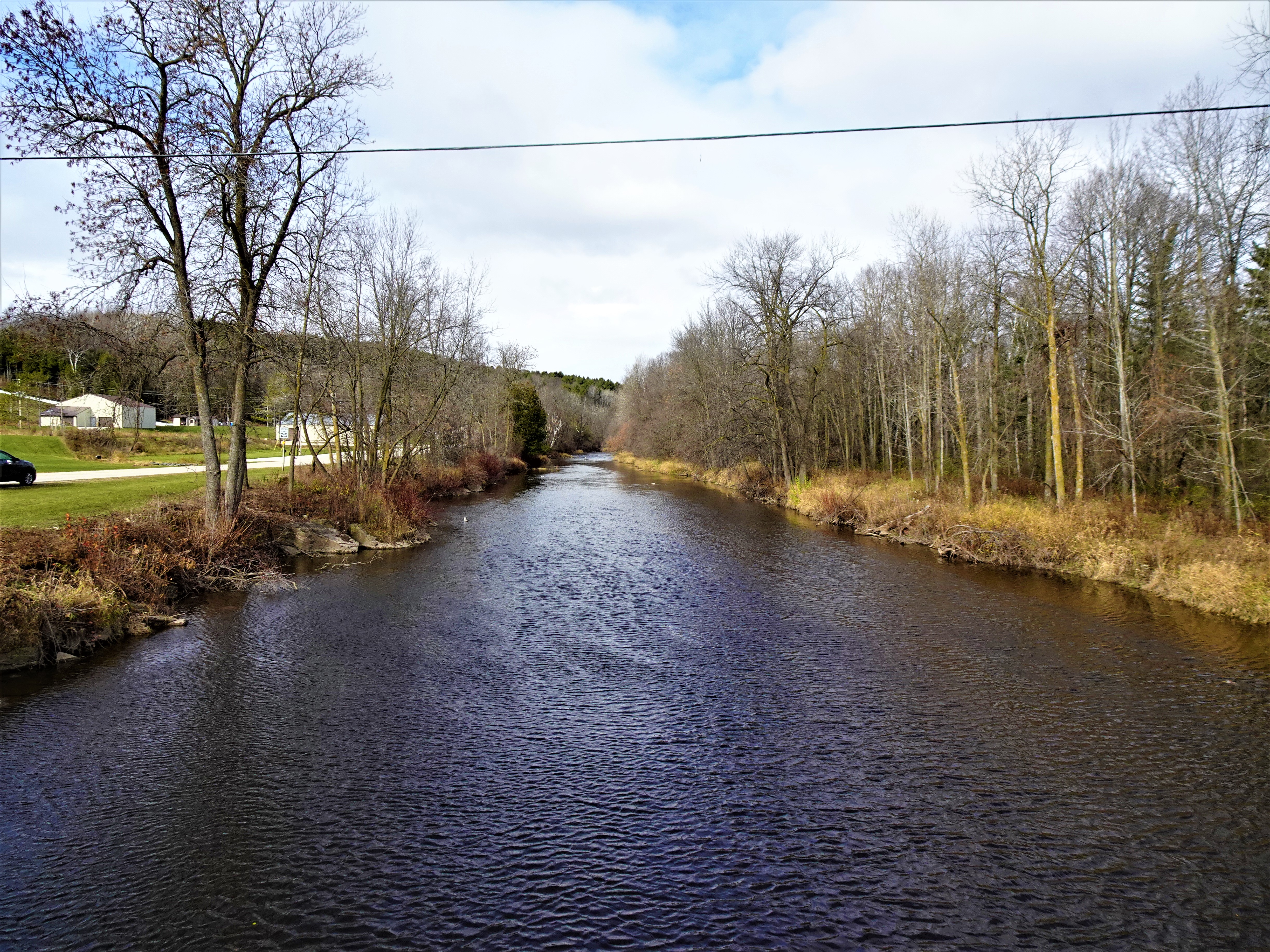
After 3 miles on Townhall Road, I turned east on Wisconsin State Highway 29, walked about a mile, and then turned north on Birchwood Road continuing my way through farm country. In about one more mile, I turned right on County Road F in Birchwood. I traveled east past a home where many collies barked excitedly. I continued to a curvy stretch of County Raod F, then headed steeply downwards towards Footbridge. About a mile later, I passed the Kewaunee Winter Park, crossed the Kewaunee River and ended my hike at Bruemmer County Park. Another road walk on the books, I began to look forward to hiking the Kewaunee Segment of the IAT.


That's all for now, let's get outdoors and Keep our wild places wild.

Difficulty - Easy to moderate with some light hilly spots.
Location - Parked roadside on Nuclear Road at the northern terminus of the Tisch Mills Segment of the IAT.
No comments:
Post a Comment