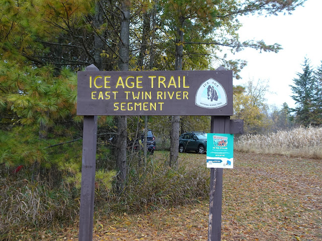
I opened my book of maps, the Ice Age Trail Atlas published by the Ice Age Trail Alliance, and reviewed the 5.8 mile suggested route between the East Twin River Segment and the Tisch Mills Segment of the Ice Age Trail. I set aside the atlas, choosing a simple, more direct 4.4 mile route instead. Yes, the suggested route likely took quieter country roads and perhaps offered more scenery, but the area in general did not seem particularly busy and did offer some beautiful views of the Wisconsin countryside, so the shorter option won my vote.
I parked in the trailhead parking area near the East Twin River Segment of the IAT. Heading east along Hillview Road, I paused to look at the beautiful East Twin River before walking by fields, farms and homesteads. The wind rattled dry leaves. Some of the properties looked spooky, the way abandoned properties do so close to Halloween. Many hundreds, quite possibly thousands, of seagulls flew in undulating masses and settled from spot to spot on farm fields. As I continued down Hillview Road, I passed the plain, neatly maintained Lakeside Mennonite Church, but did not see a lake.
At County Trunk Highway B, I turned left and walked north. I passed trees in full, gorgeous shades of autumn orange and gold. I passed country homes and farms. At the corner of Highway B and Tapawingo Road, an intriguing sign for a haunted woods beckoned. Now 8:00 am, I thought about checking it out but realistically the odds of it being open anytime early in the day seemed pretty low. As I continued north, I passed intersection with Sandy Lane and the Good Times Restaurant and Banquet Hall, which was open. Turns out Good Times opens at 6 am daily, later on Sunday.
After passing the intersections with Holmes Road, Tisch Mills Road, and Two Creeks Road, I came to the place where the East Twin River crosses Highway B. I paused taking in the view of the river in all of it's autumnal glory. Then I continued across the East Twin River collowing County Trunk Highway B North passing more fields, farms and country homes and Zander Road. At the corner of Freedom Road and County Trunk Highway B, I passed a home that was built into the earth. I've always been intrigued by this idea, and although it wasn't easy to see too much of the home from the highway, I did enjoy seeing what I could . Before long I reached the tiny sign atop the small hill alongside a cornfield indicating the start of the Tisch Mills Segment of the IAT. I turned around and walked back to my starting point at the East Twin River Segment Trailhead.
That's all for now, let's get outdoors and keep our wild places wild.
Difficulty - Easy.
Location - Parked at the parked at the East Twin River Segment trailhead parking on Hillview Road.


No comments:
Post a Comment