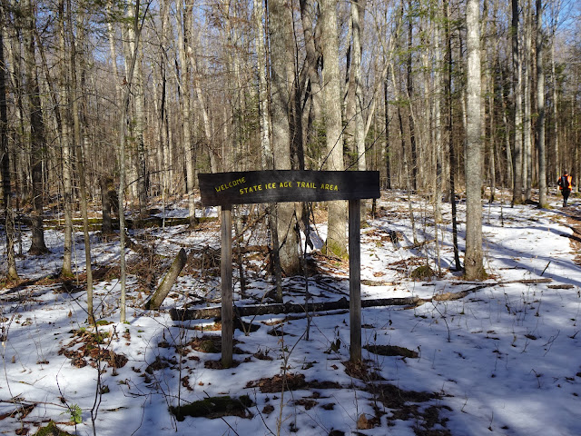
Starting from the southern terminus of the Plover River Segment, we parked in the IAT parking area on Sportsman Drive and hiked north, soon crossing Aniwa Creek. While this trail is well forested, towards the southern end of this segment we encountered some grassy areas. We hiked along a ridgetop I thought might be an esker, then hiked through a lower area filled with many small boulders and rocks near the river.
We entered a low lying area containing small boulders greeted us with many opportunities to break through the snow and ice into mucky, swampy water. The trail continued back up through the trees through another area of moderate hills and then dropped again to the Plover River through another swampy area with many small boulders which provided more opportunities to step through the snow into mucky water. Before long, we found ourselves at the Plover River checking out the crossing.
We listened to the trickling babble of the Plover River, stopping at a peaceful bench to admire the tranquil surroundings. The gentle sounds of the Plover River and ideal placement of small moss-covered boulders made for a magical setting. I remarked I couldn't pass this by without taking a photo and then realized I had left my backpack at the top of a hill near a small bench halfway back to the car. Turned out the Plover River crossing was a comfortable place for my husband to wait around for me to run back and grab my pack.
I hurried but still left my husband a good amount of time to rest and snack, I returned huffing and puffing, winded from rushing the entire way. We carried on and to our surprise the small boulders in the river were not at all slippery. The perfectly place boulders in the Plover River provided an easy crossing. After crossing the river we hiked on, and I had a difficult time keeping up with my newly rested hiking partner.
Before long, we crossed Wisconsin State Highway 52 and continued north along the forested footpath up and down more gentle hills. We heard nearby gunshots and saw a couple of hunters. I recommend wearing something colored blaze orange and take safety precautions should you decide to hike this segment of the IAT during hunting season.
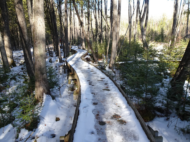
Much work has gone into the River Segment of the IAT, and the stretch north of Highway 52 contains boardwalks over wet areas with more under construction. One must be particularly careful on these structures due to slippery areas of hard-packed ice and snow on them in the colder months. Many thanks to the trail volunteers for the efforts put into this segment.
Towards the northern terminus of the Plover River Segment the trail began to head in an eastern direction. Before long we were at the IAT parking area on County Road HH where we packed up our hiking poles and began our bike ride back to the car.
That's all for now. Let's get outdoors and keep our wild places wild!
Difficulty - Moderate with some easy hills, swampy areas, areas with rocks and roots in the trail, and a river crossing (can step on boulders).
Location - Parked in the IAT parking area on Sportsman Drive.


.JPG)


No comments:
Post a Comment