Waupaca County will forever be known to me as a land where dogs chase hikers down the road. I started the connecting route between the Skunk and Foster Lakes Segment to the New Hope-Iola Ski Hill Segment after I parked in the DNR parking area on Gilman Road. From there I hiked south on Gurholt Road.
True to my previous Waupaca County road walking experience, as I neared the corner of Gurholt Road and County Highway V, two farm dogs from the farm at the damned area of Peterson Creek came barking and chasing me down the road. As that was happening, a large black dog from another farm crossed the street to join the fun. Three to one being a ratio against my favor, I gave up on waiting out the dogs as they were ignoring the farmer's calls, I turned back up towards Gilman Road to head the connecting route in the opposite direction. I would sew up the missing stretch starting from the Foster and Skunk Lakes area later that day.
Gurholt Road
Duck Crossing at a Cabin on Peterson Creek
Crossroads
Goats!
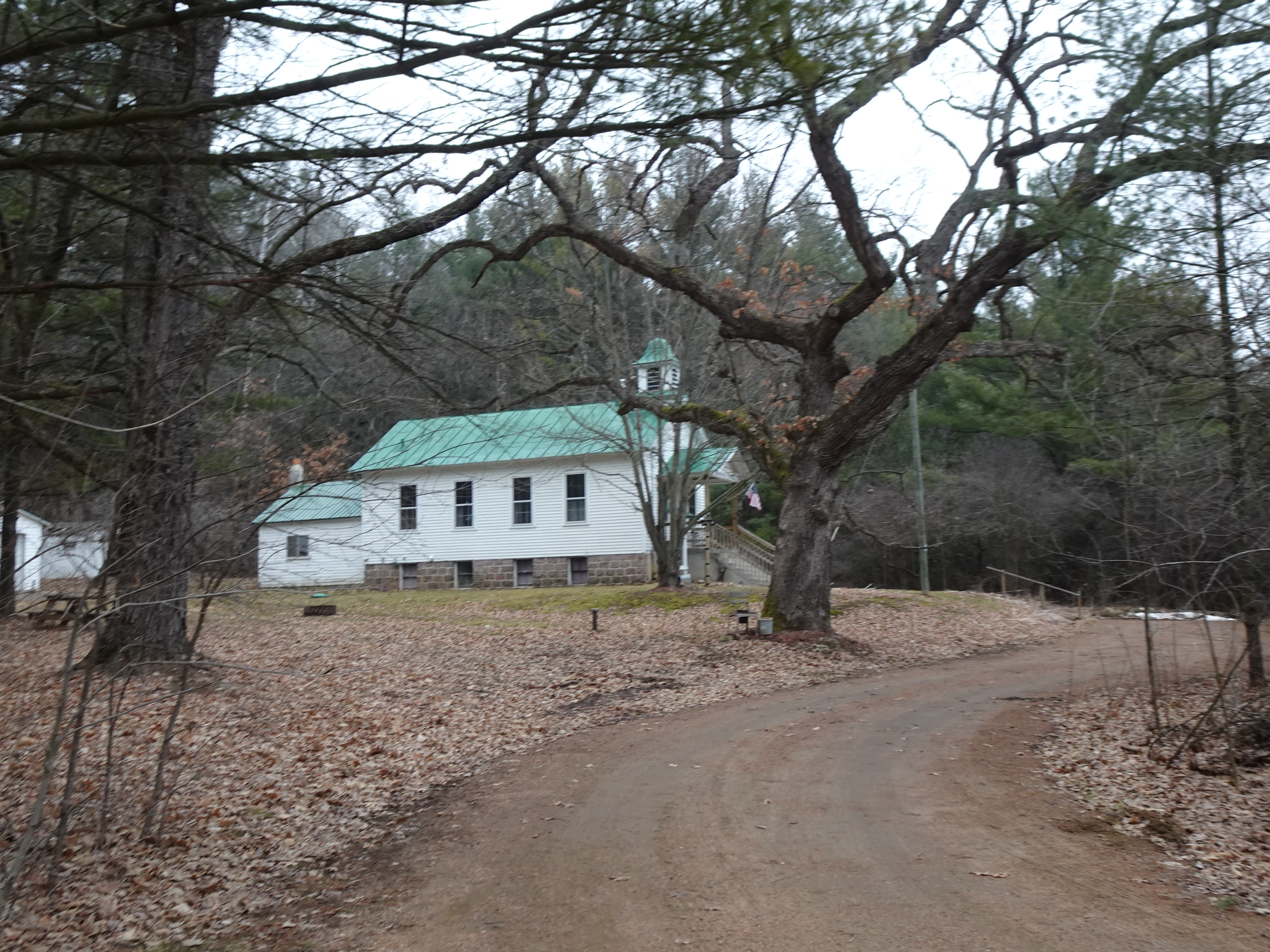
Riverview School
Another Crossroad
I walked past my car and continued up Gilman Road, too a short left on County Road B, and then headed north on Nottleson Road towards Tu-Lakes Road. This morning with not a vehicle in sight the surrounding woods, farms and hills enveloped me with quiet beauty. Occasional cabins, abandoned homes, and a smattering of farms and an occasional permanent residence reminded me I was roadside, not on a wooded footpath. When I reached Brekk Lake, I turned east on Tu-Lakes Road and walked past some lake houses and then headed north through a brief wooded farm area toward Bestul Road. The highlight was being greeted by a flock of ducks waddling along in the middle of the road.
Beautiful property!

Moo!
The sun came out making a dramatic sky
rry
Quarry
Everything is so pretty when the sun comes out!
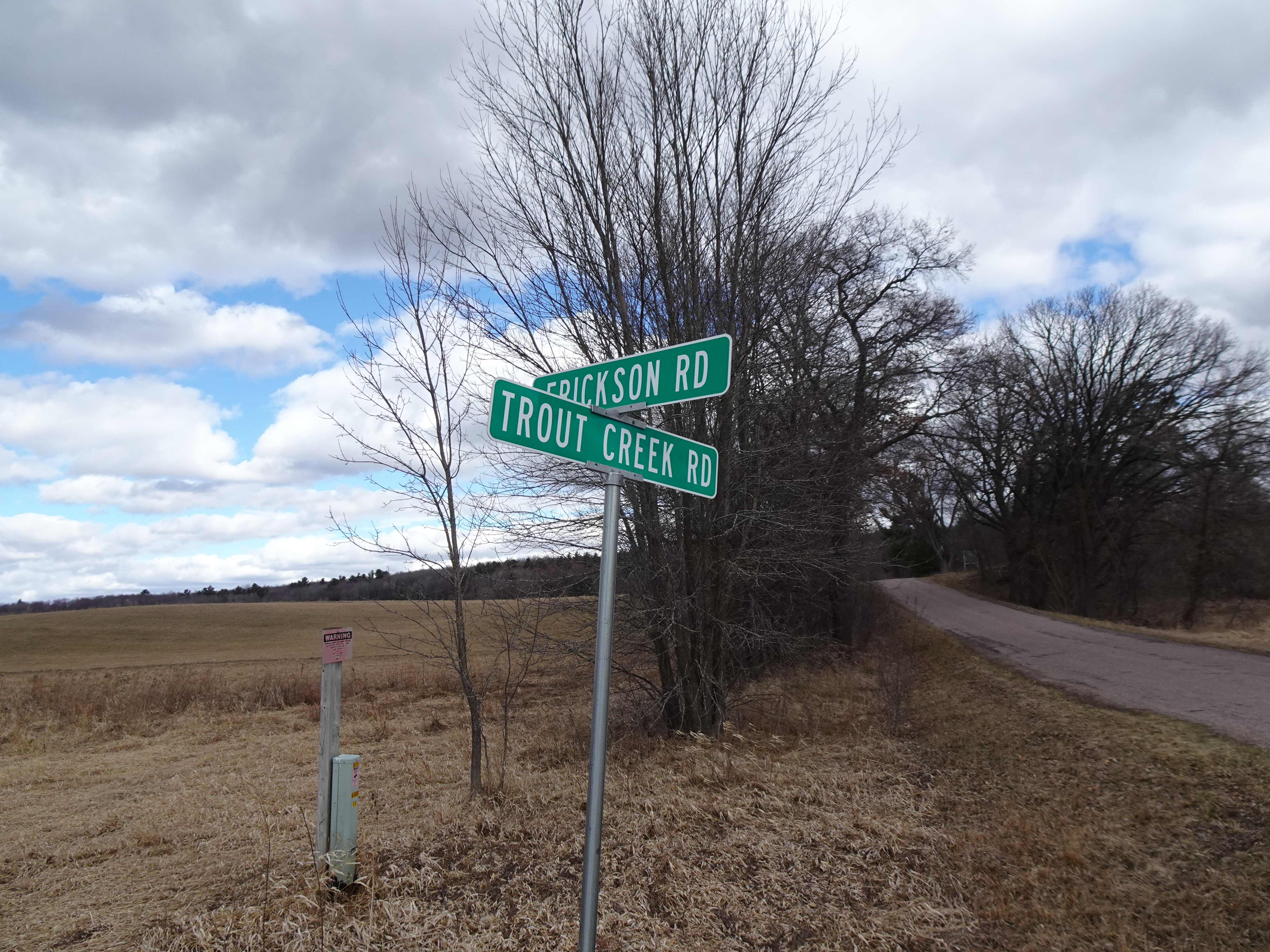
Trout Creek Road
I headed about a mile and a half east on Bestul Road past a couple of farms and then North on Rosholt Road. Traffic sounds broke the stillness as I headed west briefly along Highway 161, but quieted down again once I started north on Trout Creek Road, then west, then north, then west again along Trout Creek Road to the Trout - Nace Creek Fishery Area. When I returned to continue my IAT section hiking, I finished the roadwalk. I continued north on Wasrud Road and east on Highway MM towards the Ice Age Trail trailhead at the Iola Winter Sports Club.
A beautiful, quiet area, encountered no motorists
Best option for parking along the route
That's all for now, let's get outdoors and keep our wild places wild.
Map or route
Total Distance Covered - The portion of the Milwaukee River Segment that runs through Washington County is 13.2 miles (21.2 km) one way.
Difficulty - Easty to moderate - a few hills.
Trail Conditions - The roadwalk is well-signed and quiet except for the area around Highway 161. Ran into no other hikers along the roadwalk except for the parking lot of the trailhead at the Iola Wintersports Club. Temperature, 29°F (-2°C).
Highlights - Gorgeous views of the Wisconsin farmsteads, ducks in the road, getting chased by dogs.
Total Ice Age Trail Miles to Date - Total official trail distance completed to date - 633 miles (1019 km).
Amenities - Trailhead parking and a porto-potty at the Iola Wintersports Club.
Location - Parked at the Iola Winter Sports Club and at the DNR parking on Gilman Road.


 Moo!
Moo!


No comments:
Post a Comment