
Cold wind gusts pierced my jacket as I followed the IAT along the edge of a farmer's field. I pulled the hood over my head and zipped it as high as the zipper would reach. Soon the trail entered Weber's Woods, providing relief from the wind. I walked over a number of boardwalks over dry ground into the woods. Before Long I arrived at Tisch Mills Creek, finding a sign that read "wading my be safer than walking over rocks". The temperature was 33°F (0.6°C) and given the recently melted snow and and heavy rain, the water was moving quickly at just above knee high. I found a couple of long sticks on the ground and used those to help my way across.

The Tisch Mills Segment of the IAT along a farm field near County Highway B.

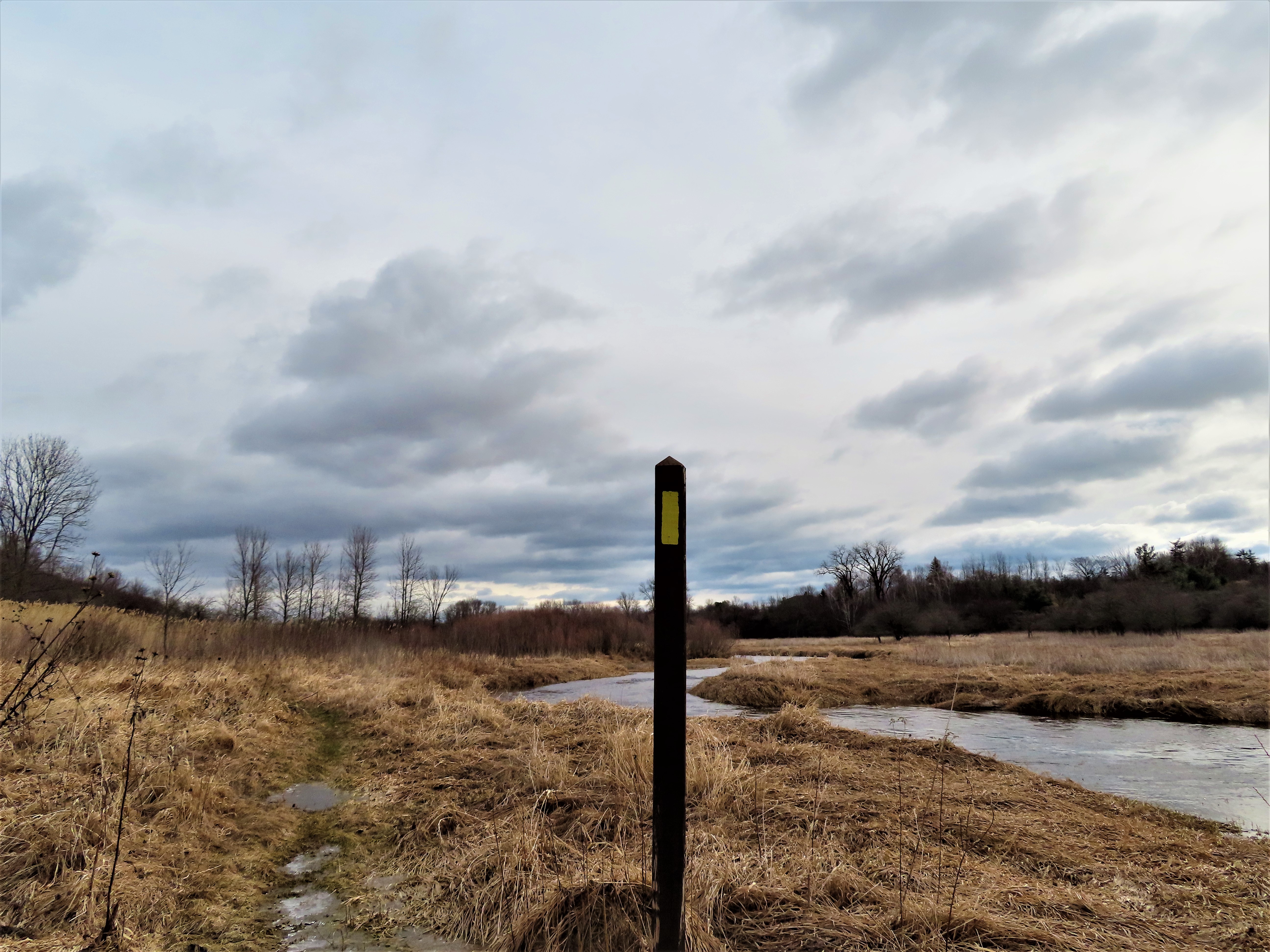
Tisch Mills Creek Crossing

Should have done my research ahead of the hike
Now my feet were cold. Really cold. But I had fast drying fleece pants, wool socks, and some fast drying shoes. Now safely across the creek, I sat on a conveniently placed bench and emptied my shoes. I took a look at the DCA (dispersed camping area), which is basically a flat spot with no amenities intended to allow thru hikers are rest spot. I followed the trail up hill a short distance, and hiked past a memorial to the trailhead sign along County Road BB. I followed County Road BB east through Tisch Mills and turned north on Mill Lane, walked past the mill, and then along the East Twin River.

Trailhead signage along County Highway B

Weber Family memorial in Weber's Woods

Post Office in Tisch Mills

Fat Boyz in Tisch Mills

Christmas at Eastertime in Tisch Mills

Back to more of the footpath along the East Twin River
At another trailhead sign, the trail continued along the East Twin River. I found the trail to be flooded and in need of some of the board walks I had encountered in Weber's woods. I also did find a few spots with boardwalks, some of them entirely underwater. Since my shoes were already soaked from wading across Tisch Mills Creek, I went ahead and slugged through. I enjoyed the sights and sounds of waterfowl along the river. The trail pulled away from the river for a short stretch and when I neared Nuclear road I passed a smoldering fire where someone had been burning waste. I climbed the hill to Nuclear Road, leaving the Tisch Mills Segment and starting the road walk towards the Kewaunee Segment of the IAT.

Water is high on the East Twin River

East Twin River on the Tisch Mills Segment of the IAT
Yellow Blaze

Trash fire smoldering near the northern terminus of the Tisch Mills Segment of the IAT

Nuclear Road. the northern terminus of the Tisch Mills Segment
Give the gusty wind and my freezing feet, when I returned the the car I felt glad to be out of the wind, and doubly glad I had left a pair of dry gym shoes in the car. When I arrived home I read that the blue blazed trail in Weber's Woods gives the hiker and alternate route to take during times of high water. Had I done my research I could have avoided wading knee high in the cold. But what fun is life without a little adventure?
That's all for now. Let's get outdoors and keep our wild places wild!

Map - Tisch Mills Segment of the Ice Age Trail
Total Distance Covered - 2.6 miles (4.2 km) one way.
Difficulty - I would rate it moderate to difficult due to having to wade across the cold knee-high Tisch Mills Creek and wade through flood water near the East Twin River. If it were dry, it would be an easy hike.
Difficulty - I would rate it moderate to difficult due to having to wade across the cold knee-high Tisch Mills Creek and wade through flood water near the East Twin River. If it were dry, it would be an easy hike.
Trail Conditions - The northern footpath was flooded along the East Twin River, and Tisch Mills Creek was high, waded through knee high ice cold water. The road walk between the two segments was quiet. Windy and 33°F (0.6°C).
Highlights - Views of the East Twin River and the Tisch Mills Creek.
Total Ice Age Trail Miles to Date - Total official IAT trail distance completed to date - 509 miles (815 km).
Amenities - Trail passes through Tisch Mills which offers a bar and a Post Office.
Location - Parked roadside at the trailhead.
Location - Parked roadside at the trailhead.
I lived in tisch mills back in 1999 till 2003 before our house burnt down. There is also an ice age trail in the woods behind Sqeekers club with the diamond field! I go out to tisch mills every so often! Last time I wasn’t able to get in the woods behind where our house was, but now they had it cut by the opening to where you go in. Worth checking out as there is an Indian burial ground and also heard of a Viking ship some where in the woods.
ReplyDeleteThanks and that i have a tremendous supply: How Much House Renovation house renovation in london
ReplyDelete