
On this early May morning, pussy willows decorated the trail as spring flowers had not yet come into bloom. The morning sun cast long shadows. I scared up a number of ducks and spotted several deer in the swamp. As the sun came up I began to see an hear a large variety of song birds.

Trailhead parking between the Forestville and Sturgeon Bay Segments of the IAT
.JPG)
Maplewood

Along the converted raised railway bed portion of the trail

Swamps along the raised railway bed portion of the trail

Pussy Willows

Long shadow on the raised rail bed
After three or four miles the swamp gave way to forested areas, homes and farms. After about 6 miles the Neenah Avenue trailhead parking area offered a nice spot for a break with restroom facilities. From here the trail headed north on Neenah Avenue through the Sturgeon Bay Industrial Park.

Hoses along the raised railway bed

More of the swamp

Along the raised railway bed

Shady rest along the raised railway bed

Nesting geese

Antique farm equipment along the converted raised railway bed

A beautiful multi-use trail

Trailhead along Neenah Avenue
The trail left Neenah Avenue heading west behind an industrial facility within the Sturgeon Bay Industrial Park. After passing by some large industrial cranes, the trail briefly moved through a residential area and follows Yew Street and Lansing Road before heading along a path through Cherry Blossom Park. Cherry Blossom Park offered a nice place to take a break and use the restroom, as well as a nice play area for children.

Sturgeon Bay Industrial Park

Off-road through the Industrial Park

Cranes

The trail goes through Backyards

In-town on the Sturgeon Bay Segment of the IAT

Heading into the downtown with the skate park on the left hand side of the street
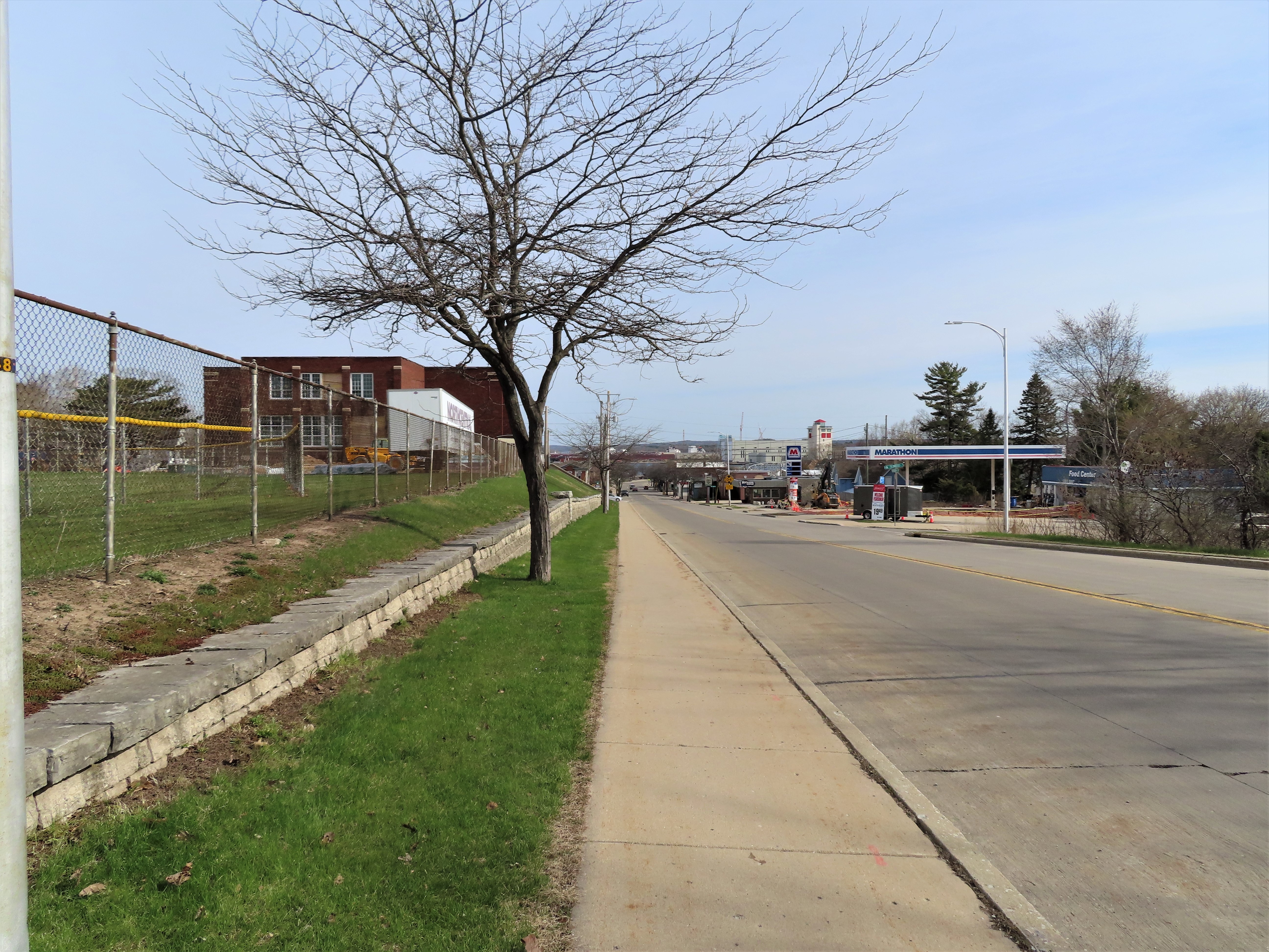
Heading into downtown Sturgeon Bay

The local Napa store

Sturgeon Bay
Before the bridge, I followed the IAT left along the waterfront. The first sight along the waterfront in Bay View Park was the IAT mascot, "Woolly". A statue of a woolly mammoth was relocated here overlooking the waterfront in 2021, a great opportunity to grab a quintessential IAT photo. From here the trail followed the bay offering views of ships and fishermen.

Woolly mammoth in Bay View Park.

Sturgeon Bay

Ship in the bay
Leaving the park, the IAT followed surface streets to Potawatomi State Park. The trail then headed through residential areas towards Duluth Avenue, first following Juniper Street to the west, Joliet Street to the north, and then Hickory Street west. Once on Duluth Avenue, I followed the trail north passing homes and vacation homes with occasional views of the bay until finally reaching Potawatomi State Park.

Heading through residential areas towards Potawatomie State Park

A view of the Sturgeon Bay Canal

Springtime in Sturgeon Bay
At Potawatomi State Park, I followed the trail along the bay, occasionally heading through the trees. The water views continued. The park offered plenty of shady spots for a rest break, rest rooms, and camping. The small store was closed awaiting the summer season. The family campground was only a very brief walk from the trail. The few steep transitions upwards offered volunteer built stairs including rock stairs built from local dolomite.

Views of the bay from Potawatomi State Park

Getting warm outside

Along the bay

More along the bay

Dolomite rock stairs
About a mile from the terminus the trail pulled away from the bay and I traveled through a wooded area and crossed park roads. Eventually the trail arrived at some restrooms and an observation tower that is closed for damage. In the past this was the Eastern Terminus of the IAT. However, the terminus has been moved. The trail continued northwest another approximately half mile to a scenic overlook with a parking and picnic area. I found the views breathtaking and a marker on a rock indicated my arrival at the Eastern Terminus of the IAT.

Trailhead at the Eastern Terminus of the IAT

Birch trees

Scenic overlook at the terminus

More of the scenic overlook

At the Eastern Terminus of the IAT

The rock

That's all for now, let's get outdoors and keep our wild places wild!

Map of the Sturgeon Bay Segment of the Ice Age Trail.
Total Distance Covered - 14.4 miles (23.2 km) one way.
Difficulty - I would rate it moderate due to it being a little bit longer in length with some very short but steep climbs within Potawatomi State Park. Much of the trail is easy.
Difficulty - I would rate it moderate due to it being a little bit longer in length with some very short but steep climbs within Potawatomi State Park. Much of the trail is easy.
Trail Conditions - The entire segment is well-maintained. The raised rail bed from Maplewood to Sturgeon Bay was very easy to hike. In Potawatomi State Park, some areas could be muddy and slippery if raining.
Highlights - Views of the bay of Sturgeon Bay, deer and water birds in the marsh along the raised rail bed portion of the trail, watching skateboarding at the skate park in City of Sturgeon Bay.
Total Ice Age Trail Miles to Date - Total official IAT trail distance completed to date - 524 miles (838 km).
Amenities - Trail passes through the city of Sturgeon Bay which offers dining, lodging, bars, shopping and a Post Office. Trailhead parking available in Maplewood, Sturgeon Bay and at Potawatomi State Park.
Location - Parked at Potawatomi State Park, started at the IAT trailhead parking in Maplewood at the corner of State Highway 42 and County Road H.
Location - Parked at Potawatomi State Park, started at the IAT trailhead parking in Maplewood at the corner of State Highway 42 and County Road H.
No comments:
Post a Comment