Since the temperatures hovered near freezing, I waited for the downpour to slow to a light rain, before heading up the Scuppernong Segment of the Ice Age National Scenic Trail (IAT). By the end the hike, a brand new day had appeared with blue skies and sunshine for miles. Geese flew north. Their cacophony disarmed me after the miles of silent winter hiking, a welcome clamor nonetheless bringing with it the promise of springtime.
The IAT is beautiful, even on a wet, foggy February morning. Starting from the IAT trailhead parking area along State Highway 67, the IAT follows and then crosses Wisconsin State Highway 67. After a short time a spur trail to Shelter #1 leads to a backpacking shelter and vault toilet at the top of Spy Glass Hill. The IAT then crosses Piper Road and meanders up and down rolling hills. After crossing County Road ZZ, the IAT passes through an area along County Road ZZ currently being logged, until finally it moves away from the road and through some gorgeous hills and switchbacks to the highest point on this segment of the IAT (1066 feet). I enjoyed the bench and the view at the high point.
 |
| Pump at IAT parking area along Wisconsin State Highway 67. |
 |
| Welcome to the Suppernong Segment of the IAT. |
 |
| Backpacking Shelter #1. |
 |
| Along the Scuppernong Segment of the IAT. |
 |
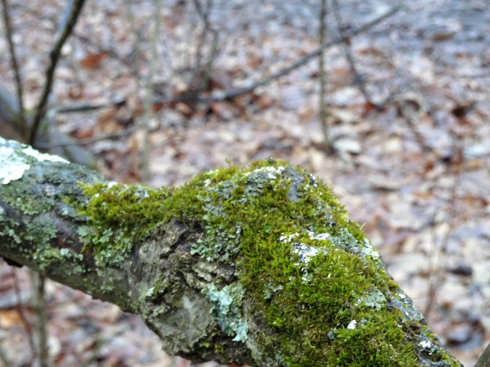
| Nice to see a pop of green in February. |
 |
| Yellow blaze. |
 |
| A wet and foggy morning. |
 |
| Love the hilly terrain of the Kettle Moraine. |
 |
| A splash of red brightens up the winter landscape. |
Soon enough, the rain dried up, the fog dissipated, and the sun showed itself warming the trail. Though muddiness ruled, ice remained on the shadiest portions of the trail, becoming wet and slick. Microspikes became a necessity. What a beautiful day to be alive.
 |
| Hurray! The sun has arrived. |
 |
| The sun is leading to water over ice. Slippery! |
 |
| Eyesores and ankle twisters created by logging along the IAT. |
 |
| Along the Scuppernong Segment of the IAT. |
 |
| Near the Pinewoods Campground. |
 |
| Yellow blaze. |
 |
| Near the north end of the Scuppernong Segmente of the IAT. |
 |
| Following a farmer's field to County Road C. |
After finishing the Scuppernong Segment, I headed east on County Road C, then north on County Road D to complete the connecting route to the Waterville Segment. Then, I turned around and backtracked back to the car. That's all for now. Let's get outdoors and keep our wild places wild.
 |
| Along the CR from the Scuppernong Segment to the Waterville Segment of the IAT. |
 |
| Blue skies! |
 |
| The CR along County Road C. |
 |
| Farm country and fresh dairy air along County Road C. |
 |
| Church at the corner of County Roads C and D. |
 |
| The Waterville Segment - another story for another day. |
 |
| Map of the Scuppernong Segeme |
Total Distance Covered - 13.4 miles (21.6 km) total, the Scuppernong Segment is 5.6 miles (9 km) and the connecting route is 1.1 mile (1.8 km), for a total of 6.7 miles (10.8 km) one way.
Difficulty - Moderate with hills with some switchbacks.
Trail Conditions - Blazed and well traveled trails, ice covered and slippery in some places, 33°F (0.5°C) later warming up to 45°F (7°C).
Highlights - Enjoying the bench, breeze and view at the highest point along the segment (1,066 feet).
Total Ice Age Trail Miles to Date - Total official trail distance completed 264 miles (422 km).
Amenities - Water pump at IAT parking lot on Wisconsin State Highway 67, toilet and water at Scuppernong trailhead parking on County Road ZZ. Shower, water, and camping at Pinewoods Campground, spring, Backpacking shelter #1 with vault toilet. Roadside parking along County Road C.
Location - Scuppernong trailhead parking on County Road ZZ north of Eagle, WI.


No comments:
Post a Comment