Polishing off the new road walk between the Albany and Arbor Ridge Segments of the Ice
Age Trail (IAT) feels great. After much road walking, I feel unexpectedly giddy at the thought of getting back to a bit of trail walking. I parked my car at the Sugar River Trail parking
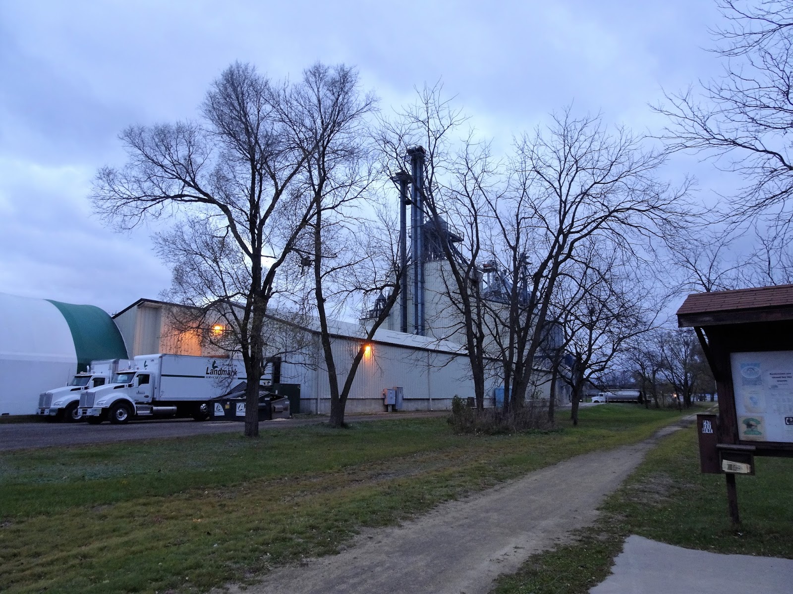
area at 701 4th Street in Albany, Wisconsin. I followed the IAT along the
Sugar River Trail about a quarter of a mile. From here, the road walk began.
The new road walk routes hikers northeast through Evansville, and then back south to the Arbor Ridge Segment of the IAT. Although it is just over 33 miles (53 km) vs. the 21 mile (34 km) Highway A route, it is said to be more hiker friendly then the route along Highway A.
What did I like about it? I appreciated the parks along the way, which provided stress-free parking and convenient bathroom opportunities. I also got a kick out of the opportunity to hike through historic downtown Evansville. If I were thru-hiking, I would have appreciated the opportunity to stop at the Main Street Cafe for a meal. What didn't I like about it? The extra 12 miles of road-walking!
To begin this road walk from Albany to Evansville, turn left off the IAT onto Bump Road for about 3 miles (5 km). After turning left to follow Wisconsin State Highway 104 for 2.2 miles (3.5 km), follow Wisconsin State Highway 59 to the right for 2.3 miles (3.7 km). Magnolia Bluff County Park on State Highway 59 is at about the halfway point, and could be used to shorten this walk if needed.
From Wisconsin State Highway 59, follow Old Highway 92 north (to the left) for 2.2 miles (3.5 km) and continue forward onto N. South 5th Street. Walk past the high school before turning right onto Higgens Drive.
 |
| At the Sugar River Trail trailhead. |
 |
| The first light snow of the season fell early this morning. |
 |
| A blustery, cold November day along Bump Road. |
After a brief walk on Higgens Drive, walk right onto Badger Drive, and then left onto S. 4th Street. At the historic Seminary Apartments, take a right on the footpath and follow it onto W. Church Street. Turn left onto S. 2nd Street in Evansville and continue forward onto N. 2nd Street, then into Leonard Leota Park.
 |
| Along Highway 59. |
 |
| Farm country. |
 |
| Walking by the Seminary Apartments in Evansville's historic district. |
 |
| Evansville's historic district. |
 |
| Another historic home. |
 |
| Lake Leota. |
My family drove to the park to
kindly provide a shuttle. Hurrah! No bike ride back to the car, which would have been a challenge with the day's gusty November winds.
 |
| Map to today's walk |
Location - Parked at the Sugar River Trail Parking at 701 4th Street in Albany, and road walked to Leonard Leota Park in Evansville.
Highlights - The first few snowflakes of the season, red barns, and rolling hills.
Trail (Road) Conditions - A windy, 33°F (1C), overcast day.
Total Distance Covered - 12.2 miles (19.6 km) on foot.
Difficulty - Easy with easy to moderate hills.
Total official Ice Age Trail Miles Completed to Date - 204 miles (327 km).
That's all for now. Get outdoors, and keep our wild places wild!
 Polishing off the new road walk between the Albany and Arbor Ridge Segments of the Ice
Age Trail (IAT) feels great. After much road walking, I feel unexpectedly giddy at the thought of getting back to a bit of trail walking. I parked my car at the Sugar River Trail parking
area at 701 4th Street in Albany, Wisconsin. I followed the IAT along the
Sugar River Trail about a quarter of a mile. From here, the road walk began.
Polishing off the new road walk between the Albany and Arbor Ridge Segments of the Ice
Age Trail (IAT) feels great. After much road walking, I feel unexpectedly giddy at the thought of getting back to a bit of trail walking. I parked my car at the Sugar River Trail parking
area at 701 4th Street in Albany, Wisconsin. I followed the IAT along the
Sugar River Trail about a quarter of a mile. From here, the road walk began. 


No comments:
Post a Comment