
Hiking the Dane County segments of the of the IAT, I find myself longing for less road walking and wilder places. But now it is winter. Frigid temperatures and snow cover have their way of bringing a special kind of quiet to the trail, even in the suburbs. Hiking closer to home on stretches of trail that do not allow hunting, with a relatively short and nicely plowed drive home does have its advantages.
Parking at the Ice Age Junction area parking lot off McKee Road near South High Point Road allows access to some nice trails for walking and jogging. It is not unusual to run into a number of other trail users in this area. Residential housing is seen from much of the IAT on the Verona Segment. From north to south, the Verona Segment of the IAT parallels McKee Road for a short time, then south through a snow covered prairie with fantastic view of the surrounding area. It descends briefly into a wooded area, then heads through a restored prairie to Reddan Soccer Park. After crossing Cross Country Road to the Badger Prairie County Park, the trail passes through additional prairie fields, up a hill with another expansive view, then down to the park shelter and restrooms where the dispersed camping area can be found. The dispersed camping area is for multi-day use hikers only, and is basically in a field visible from the road. Not an ideal camping spot, but better than nothing.
 |
| Plenty of residential views on the Verona Segment of the IAT. |
 |
| Badger Prairie County Park. |
 |
| Hometown USA Community Park. |
Heading onward, the trail passes under Verona Avenue with a Taco Bell in sight about an eighth mile off-trail. Just beyond the Taco Bell are additional fast food restaurants and other Verona businesses. The IAT then heads into the Hometown USA Community Park. With my cell phone ringing and family obligations pulling me homeward, I turned around to backtrack to the car with plans on completing my "first day" hike on day 2.
 |
| Verona Segment. |
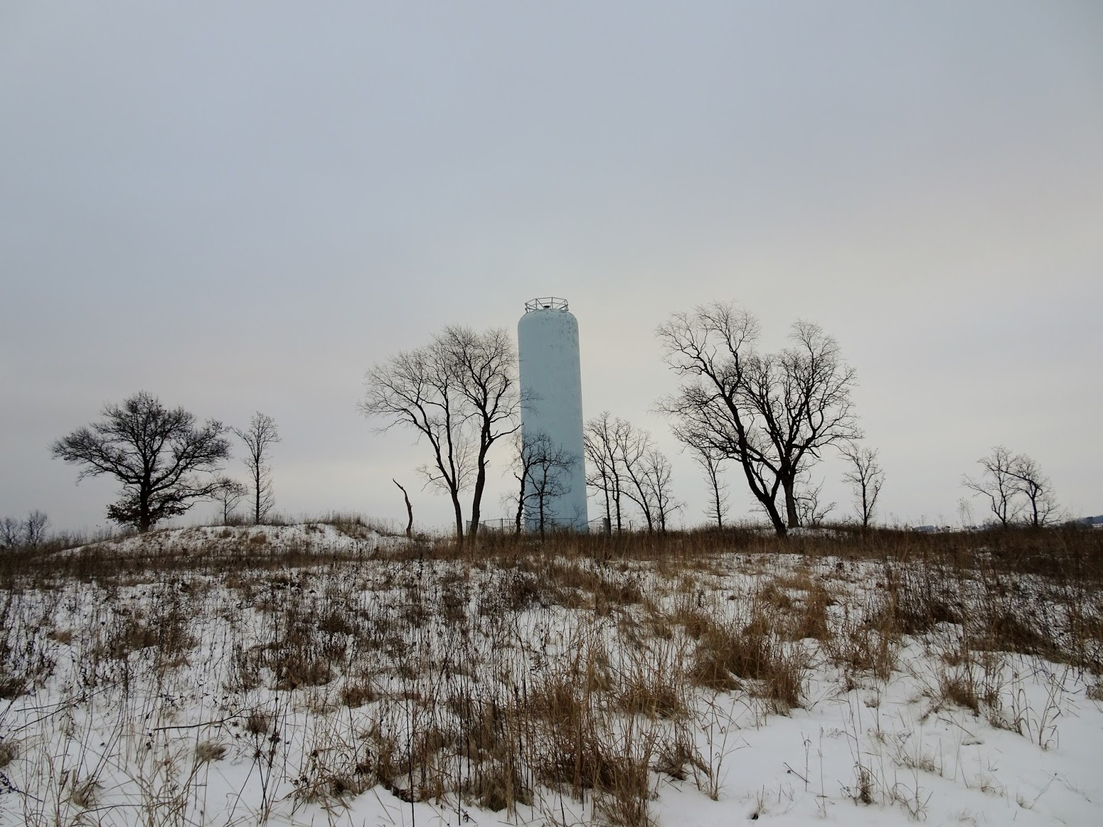
 |
| Water tower along County Highway M. |
 |
| Quarry along the Verona Segment of the IAT. |
 |
| Boardwalk in a low lying area. |
 |
| Badger Mill Creek. |
 |
| Verona Segment of the IAT. |
 |
| County Road Pb. |
 |
| Prairie Moraine Park. |
The next day, I parked at the opposite end of the Verona Segment of the IAT which begins at the Prairie Moraine County Park on Wesner Lane just off County Road Pb. The IAT enters at the fenced-in area at the end nearest Pb; not to worry, a fence separates IAT hikers from the dogs. The trail heads uphill and back down through prairie fields and into a wooded area. The trail crosses County Highway Road Pb, heading uphill into the woods, then follows the edge of a field to County Highway M. After crossing the highway, the trail follow along County Highway M over US Highway 151/18 and across a couple of driveways and Whalen Raod before heading up into the trees around the quarry, then through the woods, along a boardwalk, across a bridge and down into a wooded area. The trail then follows Badger Mill Creek to the Military Ridge Bicycle Trail. The bike trail heads back to the Hometown USA Community Park.
With the temperature checking in at 19°F (-7°C) both mornings and with 5+ inches (13 cm) of snow on the ground, I found the hike quite doable in waterproof sneakers and gaiters, but appreciated the use of trekking poles. That said, the snow made for slower travel. Overall, a nice walk as quiet as can be expected on these normally highly traveled areas on walking and bicycle trails.
 |
| Map of the Verona Segment of the Ice Age Trail |
Trail Conditions - Well trampled snow, frozen into hard lumps on the more well-traveled portions. Occasionally joins the icy pavement at the bike trail, road and driveway crossings, bike trails, and road portion along County Highway M. Take care not to slip! Started out gray on day 1, with a sunny day 2, and both days at 19°F (-7°C).
Distance Covered - 12.8 miles (20.6 km) out and back.
Difficulty - Easy with a few easy to moderate hills. They hills may be considered moderately strenuous for those unaccustomed to hiking. Be careful at the road crossings on this segment as the traffic can be heavy and fast-moving.
Location - Parked at the IAT parking area at the dog park on Wessner Road.
Highlights - Hawks, ducks, and watching something in the water stalking the ducks.
Total Official Ice Age Trail Miles Completed to Date - Total official Ice Age Trail distance completed 116 miles (186 km). Trail 60 miles (95 km), connecting route 57 miles (91 km).
Total Additional Backtracking Miles Completed - 101 miles (162 km).
No comments:
Post a Comment