
The short segment connects Czech Avenue with Cypress Road. One of the highlights of the route is a large erratic just off trail. Another is its namesake, Wedde Creek. The trail is lined with many oaks hanging onto their brown fall leaves making a welcoming rustle as the cold winds blow. I hiked and thought about where our family has been in 2018 and where we plan to go in 2019. Hiking always provides the opportunity for good thinking.
Video featuring the Wedde Creek Segment of the IAT
 |
| Along the Wedde Creek Segment of the IAT |
 |
Erratic on the Wedde Creek Segment
|
 |
| Along the connecting route along County Highway JJ |
I exited the Wedde Creek Segment of the IAT and started heading to the Mecan River Segment. I took a right at Cypress Road and a quick left at County Highway JJ. After walking past what appeared to be game farms, I turned left at County Highway B and began to walk through Richford.
Road walk with carriages
You never know what you are going to see along the IAT and its connecting routes. Much to my surprise, a flurry of clip clops grew louder and horse drawn carriages began to pass by. Unexpected, yes, but it didn't take me long to realize I was walking through an Amish community at Sunday church time. With all the excitement watching the horses fly by, I missed my left and ended up taking busier Wisconsin Highway 21 to the left to the Mecan River Segment trail head.
 |
| Along the Connecting Routemon State Highway 21 |
 |
| The Mecan River |
 |
| The IAT |
As I approached the Mecan River trail head parking area, I noticed a yellow-blazed path headed back towards the direction I had come. While this portion of trail was not complete on my out-of-date map from an old IAT atlas I have been using, I was glad to see it. I'm not sure if this bit of trail is officially a part of the Mecan River Segment or the Wedde Creek Segment as it was not signed as being a part of any particular segment. That said, I headed that way and enjoyed about a half mile on trail before jumping back onto the connecting route and backtracking back to the parking area at Wedde Creek.
 |
| Along the connecting route on County Highway B |
 |
| A little pop of color on a gray day |
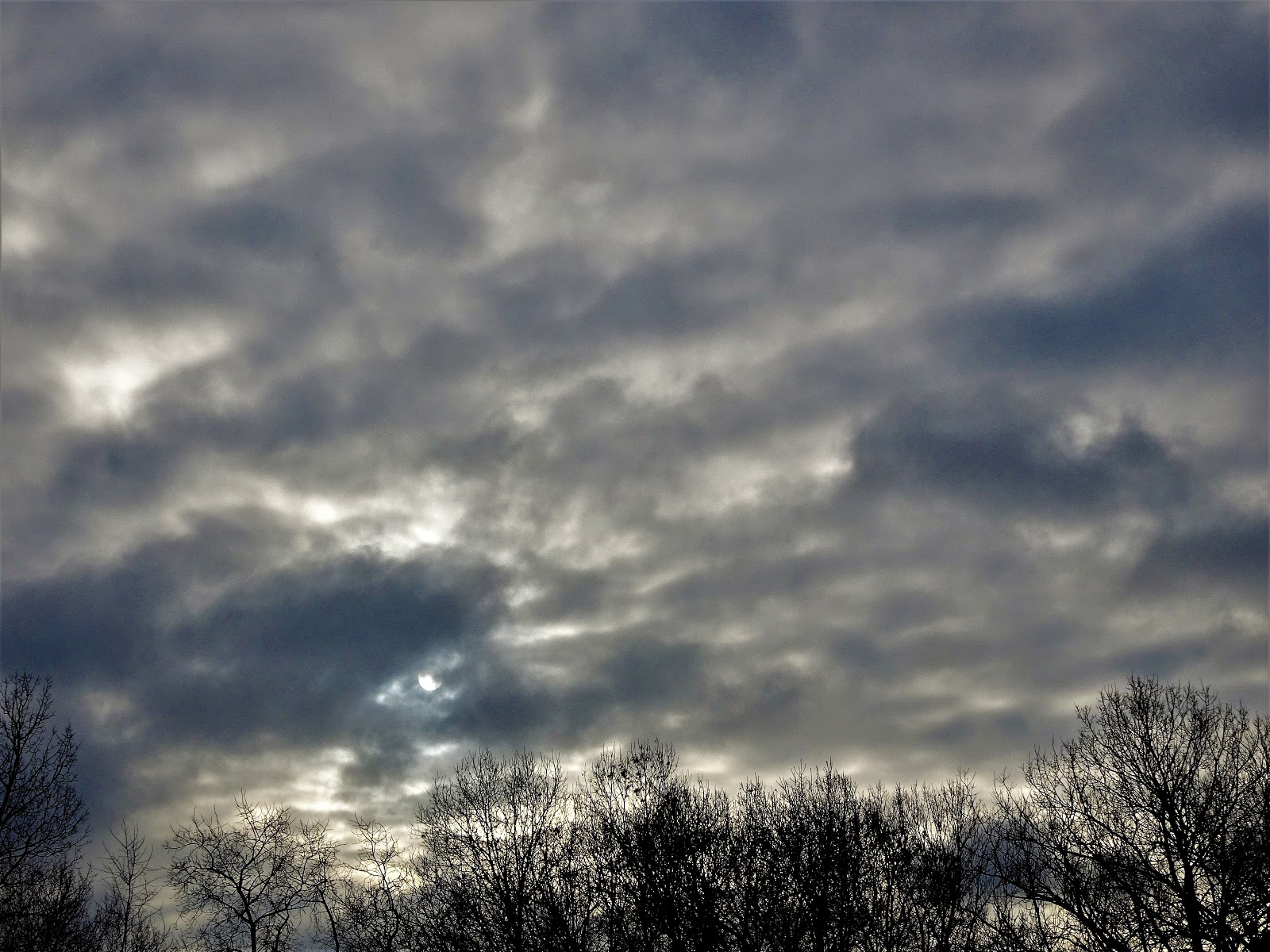 |
| The sun trying so hard to come out |
 |
| Map of today's hike https://www.openstreetmap.org/copyright |
That's all for now. Let's get outdoors and keep our wild places wild.
Total Distance Covered - The portion of the Wedde Creek Segment is 1.2 miles (1.9 km) one way, and the connecting route to the Mecan River Segment is 2.3 miles. This makes for 7.2 miles (11.6 km) out and back.
Difficulty - Easy - but I will give it a moderate for this time of year due to the ice and snow on the gently rolling hilly spots.
Trail Conditions - The trail is well-blazed and highly used. Some patches were very icy and slippery, 25°F (-4°C).
Highlights - Snow! The parade of horse drawn carriages at Amish church time on the connecting route through Richford. Wedde Creek.
Total Ice Age Trail Miles to Date - Total official trail distance completed to date - 385 miles (615 km).
Amenities - DNR parking along Czech Avenue, also Mecan River DNR parking along Highway 21. The Mecan River Inn for lodging with a bar and grill across the road along the connecting route through Richford.
Location - Parked in the DNR parking area on Czech Avenue and used the spur trail to access the IAT.
No comments:
Post a Comment