Bundled up in a down parka and fleece, I headed out on a cold January morning to explore the Blackhawk Segment of the Ice Age National Scenic Trail. After parking at the Highway 12 trail head near Whitewater Wisconsin, I headed down towards Lake La Grange where the trail opened up through a relatively open area. I put on Yak Trax over water proof trail runners and used trekking poles to prevent falling on the hard-packed ice.
The sun not yet risen. In the predawn I saw that ice fishermen were on the lake with a tent shelter. Just as I got the thinking they were nuts to be out there sitting there on ice waiting for a fish on such a cold morning, I heard one of them say, "Is someone hiking up there? That's nuts. Its to cold for hiking." Hikers hike. Fishermen fish. What can I say?
 |
| Dawn at Lake La Grange. |
After leaving lake La Grange, I followed the trail through a more densely forested area occasionally crossing snowmobile paths and roads. The hilly terrain provided variety and fun. The well trodden trails of the Southern Kettle Moraine provide a beautiful space for enjoying Wisconsin's glacial geology.
 |
| Sunrise in the Southern Kettle Moraine. |
 |
| Yellow sun, yellow blaze. |
 |
| A beautiful morning on the IAT. |
When I got to the shelter #3 spur trail, I decided to to hike up the bluff and check out Shelter #3. I assumed no one would be using the shelter given the below zero overnight temperatures. Shelter #3 shelter, at the top of the bluff near Duffin Road, had a vault toilet and a view. When I got near the shelter I noticed a flash of blaze orange through the window. Out of respect for the privacy of others, I left the shelter area without taking a peek inside.
 |
| The privy at shelter #3. |
 |
| Shelter #3. |
A bit further down the trail I took a second sidetrack down a spur trail to check out Ole Oleson's cabin which is part of Old World Wisconsin. The cabin, built by Norwegian Immigrant Ole Oleson, stands on its original site with an old sleigh once used for transporting wood.
 |
| Spur trail to Ole Oleson's cabin. |
 |
| Ole Oleson's cabin. |
 |
| Sleigh at Ole Oleson's cabin. |
 |
| Just happy to be out on the IAT at Ole Oleson's cabin. |
Note: After slipping a few times on the hard packed ice and with 2 short miles (3.2 km) left to go, I realized my Yak Trax had fallen apart with less than 100 miles (160 km) on them. Realizing the amount of time backtracking slowly out over the hard packed ice would require, I decided to turn back without finishing the remaining couple of miles of the Blackhawk segment.
 |
| Blackhawk Segment of the IAT. |
 |
| Blackhawk Segment of the IAT. |
 |
| Backtracking past Lake La Grange. |
 |
| Lake La Grange along the IAT. |
 |
| More of Lake La Grange. |
 |
| Peace out on the Blackhawk Segment of the IAT. |
 |
| Ice fishermen on Lake La Grange. |
 |
| Nearing the trailhead. |
 |
| Leaving the Lake La Grange area to head back up the banks towards the trail head parking. |
I returned to finish the segment and start the Blue Spring Lake Segment the next day. The gray, cloudy finish up day provided contrast to the bright, sunny skies of the previous. Picking up where I left off, the area beyond the spur trail for the cabin heads through an area with pines, then through a hilly stretch with glacial kettle depressions and a high spot with a nice scenic overlook. After completing the Blackhawk Segment I moved on to the Blue Spring Segment, which is another story for a another day.
 |
| Early morning overlook on the Blackhawk Segment of the IAT. |
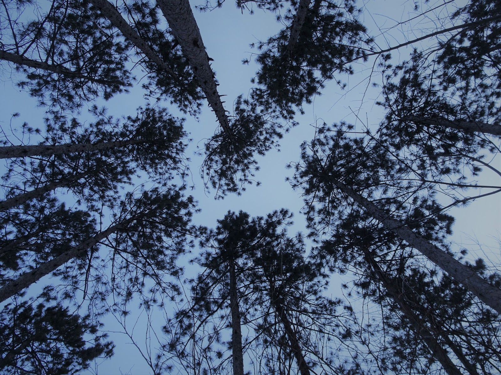
 |
| Pines along the IAT. |
 |
| Hard packed ice on the Blackhawk Segment of the IAT. |
 |
| Love the occasional pine groves along the IAT in the Southern Kettle Moraine area. |
 |
| Overlook along the Blackhawk Segment of the IAT. |
 |
| Following the yellow blazes. |
 |
| The end of the trail. |
That's all for now. Let's get outdoors - and keep our wild places wild!
 |
| Map of the Blackhawk Segment with spurs to #3 Shelter and Ole Oleson's cabin. |
Total Distance Covered - 14 miles (22.5 km) total, 7 miles (11.3 km) one way.
Difficulty - Moderate with hills throughout.
Trail Conditions - Blazed and well trodden trails. Frozen footprints made for lumpy, icy walking -2°F (-19C) and 10°F (-12C) on the finish.
Highlights - Scenic views of the surrounding countryside with hilly glacial terrain, Ole Oleson's cabin.
Total Ice Age Trail Miles to Date - Total official trail distance completed 241 miles (386 km).
Amenities - Camping is available at the Kettle Moraine Southern Unit's #3 shelter about 200 feet off the IAT on a side trail up a bluff. The shelter also has an outhouse.
Location - Parked at the IAT trailhead parking area on Highway 12 where the highway meets Sherwood Forest Road. On the finish-up parked at the Bald Bluff trail head on Kettle Moraine Scenic Drive.
Concerns - Due to the hard packed ice on the trail, hiking poles and footwear designed to grip the ice are required. I started out with Yak Trax which broke mid-trip with less than 100 miles on them. I returned with Kahtoola Microspikes which did a wonderful slip-free job.


I especially like your blog. Its been helping me alot as I maneuver the trails. Especially like the details on parking and trailheads.
ReplyDelete