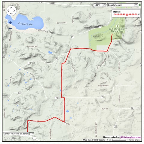
Cool temps and overcast skies made for a perfect day to knock out the connecting route between the Springfield Hills and Lodi Marsh Segments of the Ice Age National Scenic Trail. After parking at the new Springfield Hills parking area, I rode my bike the 8.1 miles (13 km) to the Lodi Marsh parking area. I hiked back to Springfield Hill, hopped in the car, and returned to Lodi Marsh to retrieve my bike.
Usually I walk the backtracks. I enjoy walking up and down hills far better than biking them. But with weekends as short as they are, biking allowed me to get home in a reasonable amount of time to enjoy a good part of the day with family. If you plan to bike this route, I advise biking south to north. Although both directions provide rolling hills, the greater downhill action occurs in this direction. If you plan to walk with someone driving shuttle, I advise walking south to north for the same reason. Also, not all of the roads are signed. It is advisable to be mindful of distance while walking to facilitate following the turns based on looking at the map.
 |
| Eastern Lodi Marsh Segment of the Ice Age Trail. |
 |
| Rolling hills in the Lodi area. |
 |
| Old homestead on Buethin Road. |
 |
| More rolling hills. |
With blackberries coming into season I enjoyed a few nibbles from the ditches in the woodsy areas. As I passed farms, a few dogs ran into the road barking and in one case nipping at my heels. Aside from the dogs, the hike unfolded for the most part peacefully and uneventfully. Although I saw only 4 cars the entire morning, one contained friendly trail angels who stopped and offered water and asked if I needed anything. Pretty nice. They had the idea they were meeting a thru-hiker, and seemed a bit disappointed to learn that sorry, I am only a section hiker out enjoying a morning walk. But they were nice enough none-the-less, and I thanked them for stopping.
Overall the connecting route made for a nice walk in the country with plenty of rolling hills and red barns. The route provides some shady stretches, berries in the ditches, and plenty of peace and quiet. If you like red barns, rolling hills, and the occasional woodsy stretch, this is the walk in the country for you.
 |
| Blackberries. |
 |
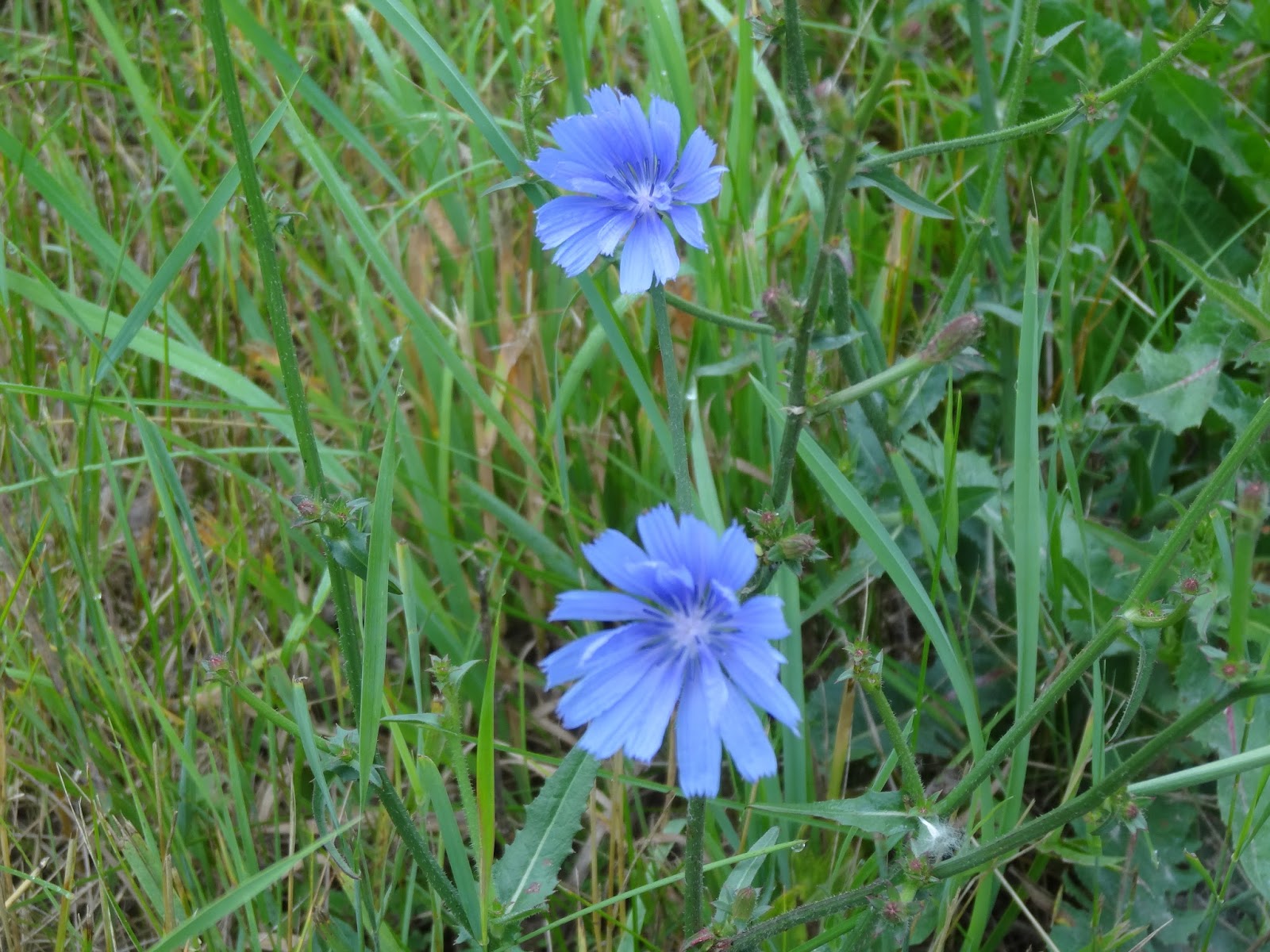
| Ditch flowers. |
 |
| More ditch flowers. |
 |
| Wild roses. |
 |
| Wildflowers. |
 |
| New parking area at the Springfield Hills Segment. |
 |
| Ditch flowers. |
 |
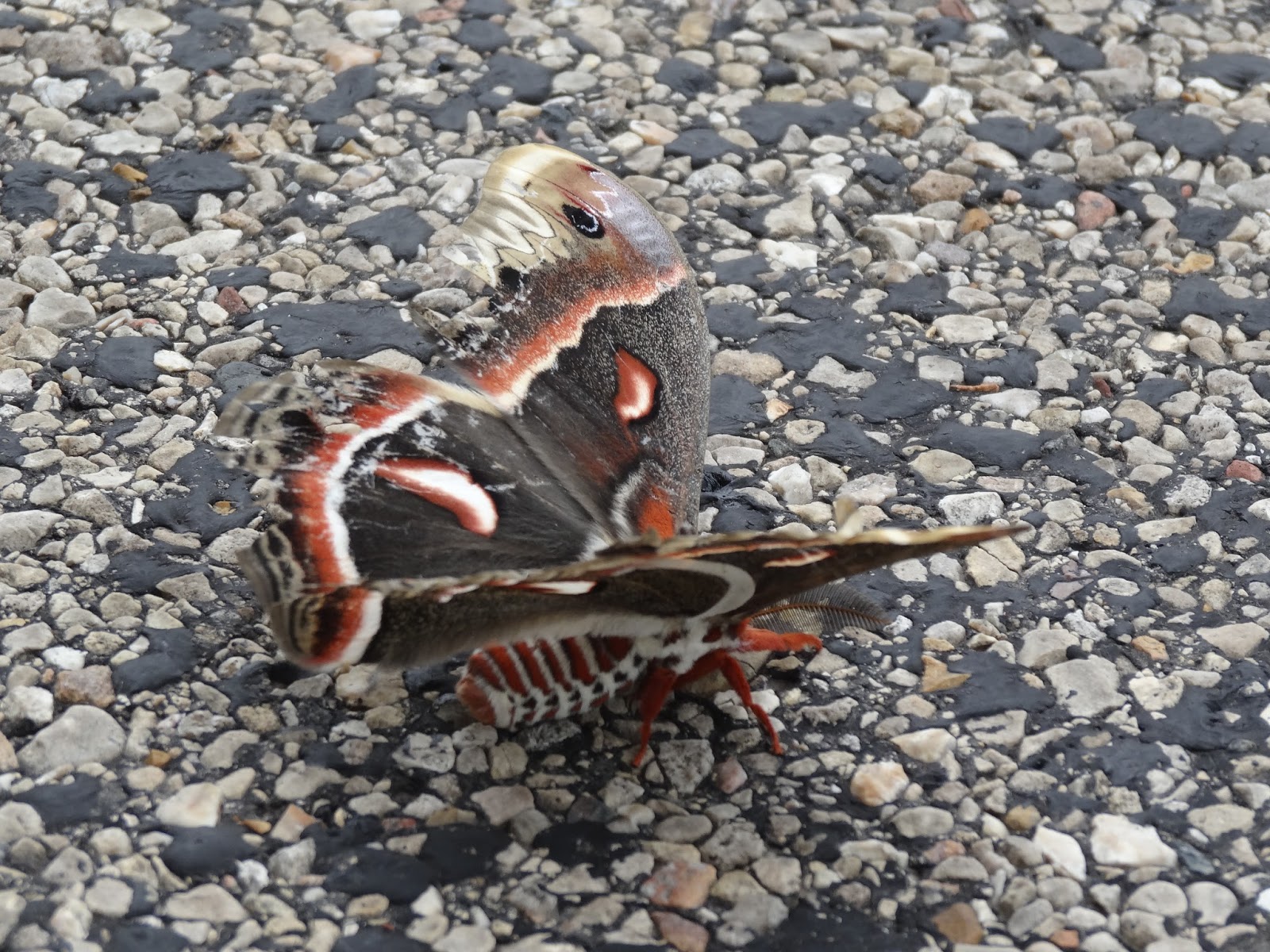
| Gorgeous moth with damaged wings. |
 |
| Map of today's route. |
Trail Conditions - Country roads, little traffic. Overcast with period of light rain, 54-68°F (12-20°C).
Difficulty - Easy to moderate level of difficulty - rolling hills.
Location
- Parked at the new Sprinfield Hill parking area on Ballweg Road near U.S. Highway 12 near Madison, Wisconsin.
Highlights - Nibbling blackberries in the ditch, wildflowers, farm-scapes and rolling hills.
Total Official Ice Age Trail Miles Completed to Date
- Total official Ice Age Trail distance completed 90.6 miles (146 km).
Trail 43.9 miles (70.2 km), connecting route 46.7 miles (61.8 km).
Total Additional Backtracking Miles Completed - 75.1 miles (114.9 km).


No comments:
Post a Comment