An upturn in the weather provided a perfect February day to walk 14.3 miles (23 km) of the connecting route between the Sauk Point and the Portage Segments of the Ice Age National Scenic Trail. Views of old barns, the surrounding hills, and Devil's Head kept things interesting. For the first time this year, I spotted deer on my hike. Another beautiful day in Wisconsin.
Starting from the parking area at the Parfrey's Glen State Natural Area, I took County Road DL east to Bluff Road and headed north. Heavy traffic on County Road DL and the first half mile of Bluff Road was explained by sounds of "woo-hoos" and glimpses of skiers through the trees at Devil's Head. Things quieted down from there.
From Bluff Road, I took O'Neil Road and then Durward's Glen Road to the north, and County Road X west to State Highway 33 for a total of 7.2 miles. Then I turned around and hiked it in reverse, backtracking back to the parking area at Parfrey's Glen State Natural Area.
 |
| Parking area at Parfrey's Glen. |
 |
| Antiques on County Road DL near Parfrey's Glen. |
 |
| View of the slopes at Devil's head from Bluff Road. |
 |
| View of Sauk Point, the highest point in Sauk County, from Bluff Road. |
 |
| Deer crossing O'Neil Road, while his partner waits in the brush. |
 |
| Lovely pastoral vista on Durward's Glen Road. |
 |
| Looking forward on Durward's Glen Road |
 |
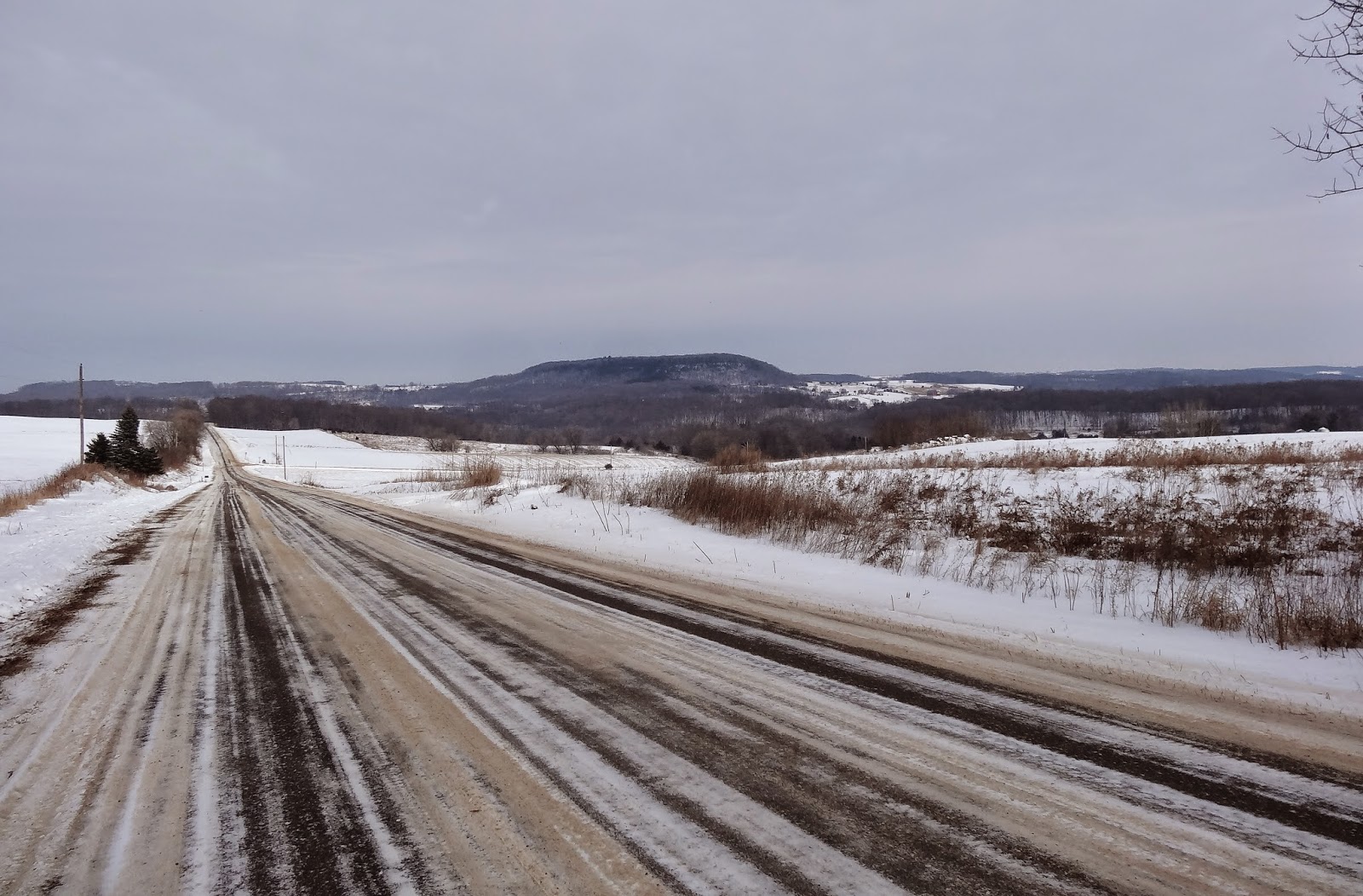
| Surrounding hills from County Road X. |
 |
| The Baraboo River viewed from County Road X. |
 |
| State Highway 33 from County Road X. |
 |
| GPS trace of today's hike. |
Trail Conditions - Country roads with hard-packed ice and snow cover. Temperature 16°F (-8.9°C)
and mostly sunny.
Distance Covered Today - 14.3 miles ( 23 km).
Difficulty - Easy to moderate, hilly.
Location
- Connecting route from
Parfrey's Glen on County Road DL to State Highway 33 (a portion of the connecting route between the Sauk Point and Portage Segments).
Highlights - Views of old barns, Devil's Head, and the surrounding hills.
Total Official Ice Age Trail Miles Completed to Date
- Total official Ice Age Trail distance completed 32 miles (51.5 km). Trail 21.2 miles (34.1 km), connecting route 17.9 miles (28.8 km).
Total Additional Backtracking Miles Completed - 39.1 miles (63 km).
This comment has been removed by a blog administrator.
ReplyDelete